
What is recorded here
Situated on a gentle NW-facing slope. A church at Kulmolyn is listed in the ecclesiastical taxation (1302-06) of Pope Nicholas IV (Cal. doc. Ire., 5, 255). Ussher (1622) describes the church and chancel as ruinous (Erlington 1847-64, 1, lxxvi). According to the Dopping (1682-5) and Royal (1693) visitations the walls of the church and chancel of St Martin’s were standing but it was roofless since 1641 and the graveyard was not enclosed (Ellison 1972, 4). The parish church of Culmullin is within a five-sided graveyard (max. dims c. 70m WNW-ESE; c. 37-60m NNE-SSW) defined by masonry walls, with the apex at N and a WNW-ESE lane outside the perimeter at S. The headstones date from 1739 to 1966, and one with a prayer in Gaelic dating from 1739 is known (McClenaghan (1921-25).
The dimensions of the church are unclear but Cogan (1862-70, 2, 351) records the nave as ’84 feet by 18 feet (c. 25.6m x c. 5.5m)’ separated by a chancel arch from a chancel ’15 feet long (c. 5.6m)’. The foundations of an E-W building (dims c. 26m E-W; 5.5m N-S) survive as grass-covered walls (max. H 0.6m) and banks, with opposing doorways towards the W end, but all evidence of a chancel arch is now gone. A rectangular mortuary enclosure (ext. dims 5m E-W; 5m N-S) defined by masonry walls and railings obscures the E end, which could extend 4m further E (total L c. 30m E-W). The foundations of a sacristy are evident as a grass-covered platform (dims 4.7m E-W; 4m N-S) defined by scarps (H 0.2m at E and W to 1m at N) attached to the N side of the mortuary enclosure. The font (ME043-017002-) (ibid. 351; Roe 1968, 112) is now in the grounds of Culmullin House (ME043-018001-), c. 250m to the SSE.
The above description is derived from the published 'Archaeological Inventory of County Meath' (Dublin: Stationery Office, 1987). In certain instances the entries have been revised and updated in the light of recent research.
Compiled by: Michael Moore
Date of revision: 23 March, 2015
The site of Culmullin Church is first recorded in the ecclesiastical taxation of Pope Nicholas IV between 1302 and 1306, and was described as ruinous by James Ussher in 1622. Its wider significance is not recorded.
The monument record does not grant public access. Check the route and ask the landowner before entering private land.
- What survives
- Recorded monument
Places near here
 CastleCastle, motte · 240 yd
 St Nicholas WellHoly well · 1113 yd
 Enclosure in Woodtown (deece Upper By.)Enclosure · 1273 yd
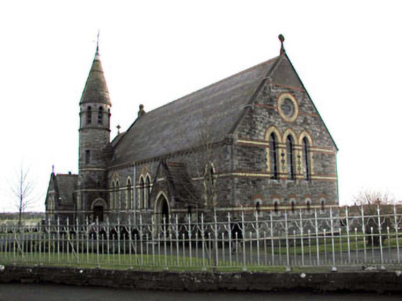 Catholic Church of Saint Martin of Tourschurch/chapel · 1286 yd
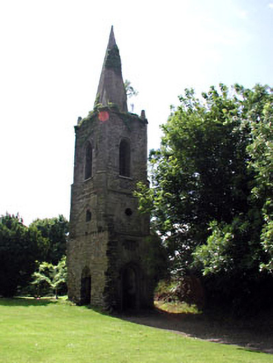 Knockmark Churchchurch/chapel · 1.7 mi
 MullaghMountain / peak · 2.6 mi
 Dunsany WoodWood · 2.7 mi
 Railway Woods (North)Forest · 2.9 mi
 Dunsany CastleCastle, unclassified · 2.9 mi
 1798 MemorialMemorial · 3.0 mi
 Lismahon 1798 MemorialMonument · 3.7 mi
 Larchil Arcadian GardensHeritage attraction · 3.8 mi
Other information
Photo: Credit not shown in the picture search · Rights wording not checked; contact us if this picture should be removed