What is recorded here
Located at the E end of a low E-W ridge (L c. 300m) with the ground falling away slightly NW-E-S. The cropmark of a circular area (diam. c. 30m) defined by a single continuous fosse is visible on Google Earth (12/07/2013; 25/04/2021; 04/03/2022). It is also visible on Map Genie (2004-06).
See the attached views from Google Earth _01 (25/04/2021) _02 Map Genie (2004-06)
Compiled by: Michael Moore
Date of upload: 25 July 2023
A local fairy fort (ringfort/rath); wider significance not recorded.
The monument record does not grant public access. Check the route and ask the landowner before entering private land.
- What survives
- Recorded monument
Places near here
 Church (Site of)Church · 1273 yd
 CastleCastle, motte · 1340 yd
 Delanys FortFairy fort / earthen ringfort · 1.0 mi
 Church (in Ruins)Church · 1.4 mi
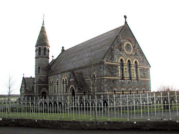 Catholic Church of Saint Martin of Tourschurch/chapel · 1.4 mi
 MullaghMountain / peak · 2.4 mi
 Dunsany WoodWood · 2.8 mi
 Galtrim MoatCastle, motte · 2.9 mi
 Railway Woods (North)Forest · 2.9 mi
 1798 MemorialMemorial · 3.0 mi
 Larchil Arcadian GardensHeritage attraction · 3.6 mi
 Lismahon 1798 MemorialMonument · 4.3 mi
Other information
Photo: Credit not shown in the picture search · Rights wording not checked; contact us if this picture should be removed