
What is recorded here
Situated on a short section of a WNW-ESE esker ridge. The oval flat-topped and grass-covered earthen section of the ridge (dims of top 36m NW-SE; 24m NE-SW; max. dim. of base 62m NW-SE; H 7m) with some trees is defined by a fosse (at SE: Wth of top 14m; Wth of base 4m; int. D 2.4m; ext. D 1.2m) SE-W. A shallow trench (Wth of top 13m; int. D to SE 1.2m; ext. D to NW 0.3m) W-N cuts off the SE end of the ridge and may have formed the defended area (diam. c. 7m). A berm (at SE: Wth 6m) outside the fosse and bordered by a slight bank (at SE: Wth 9m,; H 0.3m) may have formed a bailey along the ridge to the SE. The site of Galtrim parish church (ME043-001----) is c. 115m to the NNW.
The above description is derived from the published 'Archaeological Inventory of County Meath' (Dublin: Stationery Office, 1987). In certain instances the entries have been revised and updated in the light of recent research.
Compiled by: Michael Moore
Date of upload: 10 July 2007
Amended: 24 March 2023
A local castle; wider significance not recorded.
The monument record does not grant public access. Check the route and ask the landowner before entering private land.
- What survives
- Recorded monument
Places near here
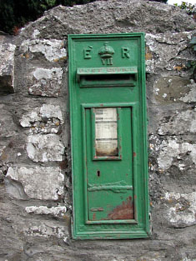 post boxpost box · 150 yd
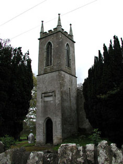 Saint Mary's Church (Galtrim)church/chapel · 158 yd
 CastleCastle, motte · 1352 yd
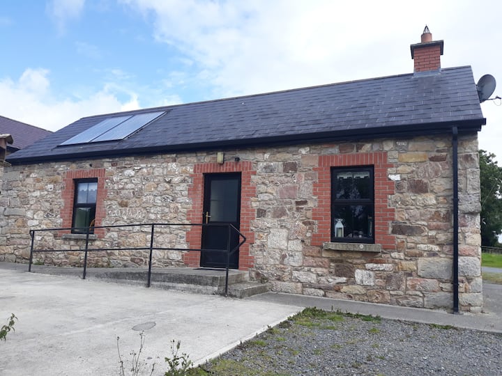 Enclosure in WindtownEnclosure · 1388 yd
 Fulacht fia in ArodstownFulacht fia · 1625 yd
 Ginnets MoatCastle, motte · 1.4 mi
 Saints IslandForest · 1.9 mi
 European ashEuropean ash · 2.3 mi
 MullaghMountain / peak · 4.7 mi
 Larchil Arcadian GardensHeritage attraction · 5.2 mi
 1798 MemorialMemorial · 5.4 mi
 Battle of Tara (Ireland)Major battlefield · 5.8 mi
Other information
Photo: Credit not shown in the picture search · Rights wording not checked; contact us if this picture should be removed