What is recorded here
In pasture on the lower NE slope of Brewel Hill. A large approximately rectangular graveyard (c. 80m NW-SE; c. 60m NE-SW) is enclosed along the W, N and E by a hedged earthen bank and along the S by a stone wall with an entrance gate near the SE corner. The overgrown interior contains a levelled church (KD032-021----) to NW of centre. The NW corner of the graveyard is cut off by an apparently earlier broad earthen bank (traceable L 21m NNE-SSW; H 2m over NW; 0.8m over SE; Wth 8m), with a shallow fosse (D 0.8m; Wth 0.9m) along its E side. The remains of an earlier meandering earthen bank (Wth 3.6m; H 1.2m) are visible in the S half of the graveyard where a bank runs N inside and parallel to the graveyard's W enclosing bank, before turning E to cross the interior of the site. Burials appear to be concentrated around the levelled church and date from the 19th-century to the present.
Compiled by: Gearóid Conroy
Date of upload: 18 October 2013
The monument record does not grant public access. Check the route and ask the landowner before entering private land.
- What survives
- Recorded monument
Places near here
 Church in Brewel WestChurch · 17 yd
 Castle (in Ruins)House, fortified house · 254 yd
 Enclosure in Brewel East OR MervilleEnclosure · 728 yd
 Ceremonial enclosure in Brewel WestCeremonial enclosure · 838 yd
 HawthornHawthorn · 1656 yd
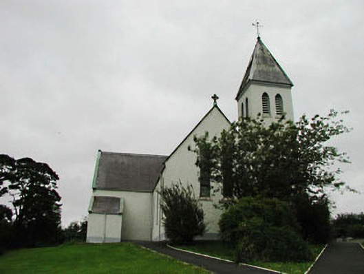 Saint Joseph's Catholic Churchchurch/chapel · 1.4 mi
 Narraghmore Nature ReserveForest · 1.8 mi
 Colbinstown Castle (in Ruins)Castle, unclassified · 2.1 mi
 Battle of Kilrushbattle · 4.6 mi
 1798 memorial stoneMonument · 4.9 mi
 Ballyhook HillMountain / peak · 5.3 mi
 Burtown House and GardensHeritage attraction · 6.7 mi