
What is recorded here
To NW of centre in a graveyard (KD032-021001-). In 1837, O’Conor, who co-compiled the OSL for County Kildare, recorded, ‘The churchyard in which this church stood lies in Usk townland [actually lies just outside Usk’s townland boundary, in the townland of Brewel West – no church or graveyard is recorded in Usk.], and is used as a burial ground. It is doubted among the people whether there ever was a church within it, or not, as there are no vestiges of one at present to be seen there, a tradition, however, exists that there was formerly a chapel within this graveyard, and we have on the authority of Archdall, where in his Monasticon, he speaks of the Nunnery of Timolin (KD036-025002-), that ‘William Piro’ who was made bishop of Glendaloch (sic) in 1192, as a further endowment to this Nunnery (i.e. of Timolin) did grant the Church of Uske and its chapels in the rural deanery of Tristledermot’ (Herity 2002, 95-6 [26-7]). According to Ronan (1941a, 53), ‘The Calf family (Vitallus, Veale) got the lands [of Ecclesia de Huske] in early Anglo-Norman times, … .’. In 1630, the church and chancel were described as ‘ruinous … [with] not above seven persons that frequent the church to heare divine service.’ (Ronan 1941b, 96). The levelled remains of a rectangular structure (int. 20.2m ESE-WNW; 6.2m NNE-SSW) are defined by a low stony bank (int. H 0.1m; Wth 2.8m; ext. H 0.6m) along the W side, and elsewhere by low scarps (H 0.4-0.5m) along the N and E sides, where the interior is lower than outer ground level, and by a higher scarp (H 1.8m) along the W, where the interior is higher than outer ground level.
Compiled by: Gearóid Conroy
Date of upload: 18 October 2013
The Church in Brewel West is a small medieval church, likely built in the 13th or 14th century, and is dedicated to Saint Brigid. It is significant as a rural example of early Christian architecture in Ireland, though its builder remains unidentified.
The monument record does not grant public access. Check the route and ask the landowner before entering private land.
- What survives
- Recorded monument
Places near here
 Castle (in Ruins)House, fortified house · 245 yd
 Enclosure in Brewel East OR MervilleEnclosure · 744 yd
 Ceremonial enclosure in Brewel WestCeremonial enclosure · 841 yd
 HawthornHawthorn · 1646 yd
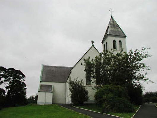 Saint Joseph's Catholic Churchchurch/chapel · 1.4 mi
 Church (in Ruins)Church · 1.8 mi
 Narraghmore Nature ReserveForest · 1.8 mi
 Colbinstown Castle (in Ruins)Castle, unclassified · 2.1 mi
 Battle of Kilrushbattle · 4.6 mi
 1798 memorial stoneMonument · 4.9 mi
 Ballyhook HillMountain / peak · 5.3 mi
 Burtown House and GardensHeritage attraction · 6.7 mi
Other information
Photo: Credit not shown in the picture search · Rights wording not checked; contact us if this picture should be removed