
Places near here
Photo credits
- Humphrey Bolton, Wikimedia Commons · CC BY-SA 2.0
- National Inventory of Architectural Heritage
- A.-K. D., Wikimedia Commons · CC BY-SA 4.0
- Wanfried-Dublin, Wikimedia Commons · CC BY-SA 4.0
- Andy Ryan / 1803 Productions, credited by Kilkenny GAA, kilkennygaa.ie
- Mike Searle, Geograph · CC BY-SA 2.0
- Kieran Campbell, Geograph · Creative Commons Attribution-ShareAlike 2.0
 Cloigtheach (Round Tower)Round tower · 24 yd
Explorer Tom Cloigtheach Round Tower in Aghaviller would handle a nosey neighbour by just staring back until they leave. It's got a…
 Historic building in AghavillerUnknown · 107 yd
Explorer Tom Historic building in Aghaviller would explain the 1800s to a teen like they're on a bad date. It’s monolithic but…
 St. Brandons WellHoly well · 240 yd
Explorer Tom St. Brandons Well is named after a saint who probably hated waiting in line for his own water. It would cope…
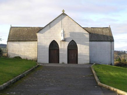 Saint Brendan's Catholic ChurchChurch/chapel · 678 yd
Explorer Tom Saint Brendan's Catholic Church in Newmarket sings 'Dancing Queen' because it thinks it is disco-fied. The inverted…
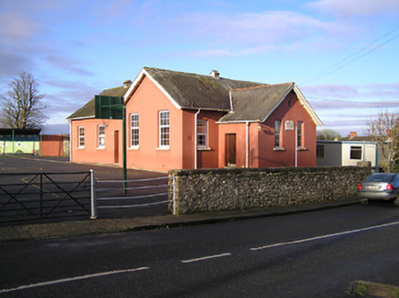 Saint Brendan's National School (Newmarket)School · 763 yd
Explorer Tom Saint Brendan's National School hides a treasure chest that definitely contains only a biscuit tin left by a very…
 Portal tomb in NewmarketPortal tomb · 769 yd
Explorer Tom Portal tomb in Newmarket hosted a dance party where the stones got too drunk and started leaning weirdly. The roofstone…
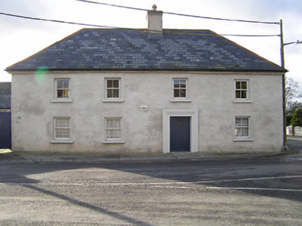 The Old FarmhouseFarm house · 786 yd
Explorer Tom The Old Farmhouse in Newmarket believes it has an imaginary twin across the sea that looks exactly like it but with…
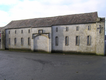 Historic building in NewmarketUnknown · 790 yd
Explorer Tom Historic building in Newmarket on Castlecomer Road made a New Year's resolution to stop pretending it’s not a carriage…
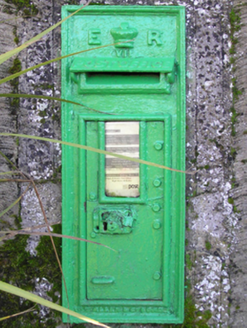 post box801 yd
Explorer Tom Post box in Sheepstown has an imaginary fan club made entirely of confused sheep who think it’s a feeding trough. It…
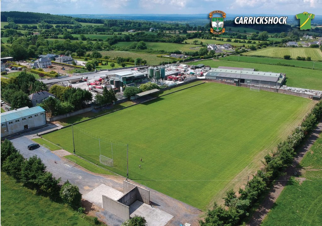 Carrickshock GAA pitchGAA ground · 1.1 mi
 CastleCastle, tower house · 1.9 mi
Explorer Tom Castle in Kilcurl is probably the favorite hangout for local rabbits, who think the vaulted ceilings are just fancy…
 Graveyard in KilkeasyGraveyard · 2.5 mi
Explorer Tom Graveyard in Kilkeasy has a long-standing grudge against the weather, mostly because the ivy keeps winning the war for…
More archaeology and monuments in County Kilkenny · All of County Kilkenny

What do you know about this place?Tap to add a comment or ask a question