
What is recorded here
From the Buildings of Ireland (National Inventory of Architectural Heritage) record 20902411
Places near here
Photo credits
- National Inventory of Architectural Heritage
- Maker not stated on source page, monumentalireland.ie
- Maker not stated on source page, www.pinterest.com
- Maker not stated on source page, www.dreamstime.com
- Maker not stated on source page, www.isle-of-mull.net
- Maker not stated on source page, random-times.com
- Maker not stated on source page, fi.pinterest.com
- Mike Searle, Geograph · CC BY-SA 2.0
- Chani Anderson / The Echo, www.echolive.ie
- Buttevant GAA club account; individual photographer not stated, x.com
 Hunting BridgeBridge · 931 yd
Explorer Tom Hunting Bridge in Ballybeg is a single-arch limestone bridge over a railway. Built around 1850, it’s not used anymore…
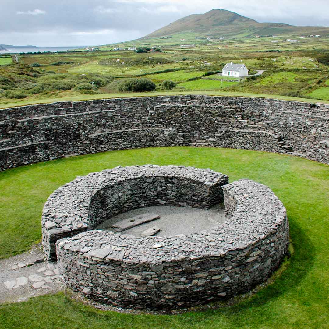 Fairy fort / earthen ringfort in Ballybeg MiddleFairy fort / earthen ringfort · 1291 yd
Explorer Tom Fairy fort / earthen ringfort in Ballybeg Middle was levelled in 1982, so now it’s just a low rise and a steep scarp.…
 Killeen Church (in Ruins)Church · 1.2 mi
Explorer Tom Killeen Church would bring a wrought iron gate and a crypt to any party, making everyone else feel like they brought…
 Elm ValeHouse · 1.2 mi
Explorer Tom Elm Vale has flanking lower wings that make the main house look like a king sitting on a throne of symmetry. It’s got a…
 Copsetown AbbeyFarmyard complex · 1.3 mi
Explorer Tom Copsetown Abbey in Copsetown is a farmyard complex that looks more like a country house because it’s got a pedimented…
 Stone CircleKerb circle · 1.4 mi
Explorer Tom Stone Circle in Knockaunavaddreen has two big stones staring at each other like ex-partners who can’t agree on custody.…
 Standing stone in Grange West (orrery and Kilmore By.)Standing stone · 1.5 mi
Explorer Tom Standing stone in Grange West is playing hard to get, sitting next to a cooking pit with packing stones at its base…
 Kilmaclenine GraveyardGraveyard · 1.8 mi
Explorer Tom Kilmaclenine Graveyard in County Cork has a family tree that is ninety percent invented to make it sound more…
 Kilmaclenine Castle (in Ruins)Castle, Anglo-Norman masonry castle · 1.9 mi
Explorer Tom Kilmaclenine Castle has an imaginary fan club of rocks and clouds that keep visiting to admire its view from the…
 Kilmaclenine CastleCastle · 1.9 mi
Explorer Tom Kilmaclenine Castle in County Cork is basically a rectangular court with no walls, which makes me think the builders…
 Dr Croke Park, BallycloughGAA ground · 2.4 mi
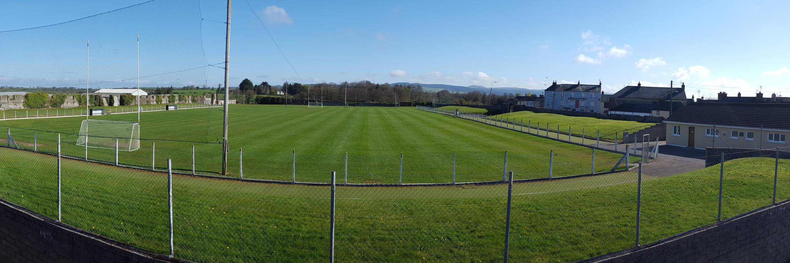 Buttevant GAA pitchGAA ground · 2.8 mi
More historic places in County Cork · All of County Cork

What do you know about this place?Tap to add a comment or ask a question