What is recorded here
Fairy fort in Ballybeg Middle, County Cork: a 41 m earthen ring on a hill, mapped since 1842, levelled around 1982. What remains is a faint rise and a sharp scarp, just enough to show the circle still resists forgetting. People may have lived there, marked it, or simply named it for the fairies because ordinary words failed.
In rough pasture, atop hill. Depicted as circular area defined by circular line of hachures internally and by hexagonal line of hachured externally on 1842 OS 6-inch map; as hachured circular enclosure (diam. c. 40m) on 1905 and 1937 OS 6-inch maps. According to local information, levelled c. 1982. Circular area (diam. 41m) defined by low rise (H 0.1m) NW->NE and SE->SSW; steep scarp NE->SE.
The above description is derived from the published 'Archaeological Inventory of County Cork. Volume 4: North Cork' (Dublin: Stationery Office, 2000). In certain instances the entries have been revised and updated in the light of recent research.
Date of upload/revision: 14 January 2009
The monument record does not grant public access. Check the route and ask the landowner before entering private land.
- What survives
- Recorded monument
Places near here
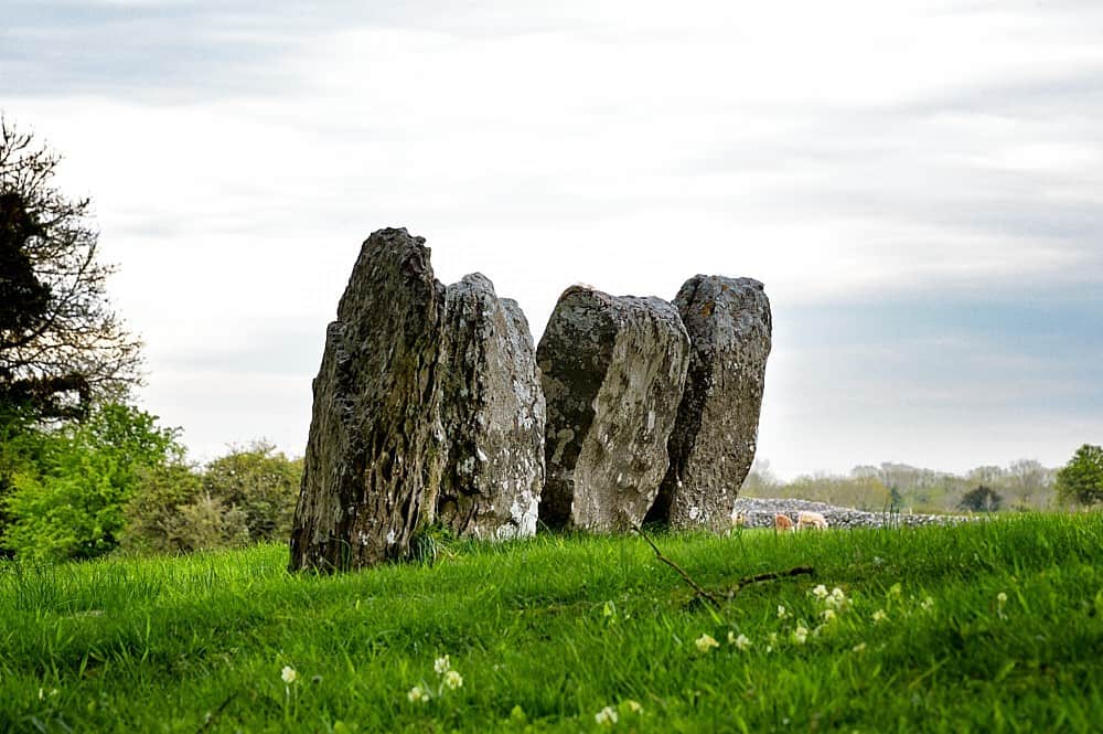 Ring-ditch in Ballybeg MiddleRing-ditch · 169 yd
 BarrowBarrow, ring-barrow · 847 yd
 Grange Bridgebridge · 1291 yd
 Hunting Bridgebridge · 1.1 mi
 Caherduggan Castle (Site of)Castle, unclassified · 1.7 mi
 Charles BunworthMemorial · 1.7 mi
 Lombards CastleCastle, tower house · 1.9 mi
 Lady's WellSpring · 3.9 mi
 In loving memory of Elvis O'DonoghueMemorial · 4.8 mi
 Mallow River TrailVisitor information · 4.9 mi
 European YewEuropean Yew · 7.5 mi
 Burial ground in AssolasBurial ground · 7.7 mi