
What is recorded here
In tillage, on edge of scarp which slopes down to SE. Depicted as hachured oval-shaped enclosure (c. 20m NW-SE; c. 18m NE-SW) on 1842 OS 6-inch map. Circular enclosure visible in aerial photograph (GSIAP, R526) as cropmark of fosse and faint trace of external bank. Levelled; rock outcrop, which appears to have been quarried, visible in area of site; large quarry to E.
The above description is derived from the published 'Archaeological Inventory of County Cork. Volume 4: North Cork' (Dublin: Stationery Office, 2000). In certain instances the entries have been revised and updated in the light of recent research.
Date of upload/revision: 14 January 2009
A ring-barrow, likely dating to the Early Bronze Age, associated with burial practices in the Irish landscape. Its location and form suggest a ceremonial or funerary significance within a local prehistoric settlement or territorial context.
The monument record does not grant public access. Check the route and ask the landowner before entering private land.
- What survives
- Recorded monument
Places near here
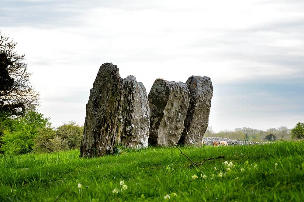 Ring-ditch in Ballybeg MiddleRing-ditch · 744 yd
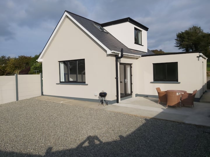 Enclosure in Two-Pot-HouseEnclosure · 1272 yd
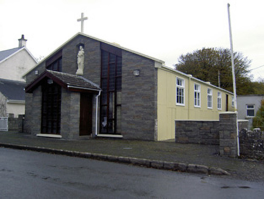 church/chapelchurch/chapel · 1345 yd
 Hazelwood Housegate lodge · 1387 yd
 Caherduggan Castle (Site of)Castle, unclassified · 1.2 mi
 Charles BunworthMemorial · 1.9 mi
 CastleCastle, unclassified · 2.1 mi
 Lady's WellSpring · 4.4 mi
 In loving memory of Elvis O'DonoghueMemorial · 4.7 mi
 Mallow River TrailVisitor information · 4.7 mi
 Dromaneen CastleHeritage attraction · 5.8 mi
 European YewEuropean Yew · 7.9 mi
Other information
Photo: Credit not shown in the picture search · Rights wording not checked; contact us if this picture should be removed