What is recorded here
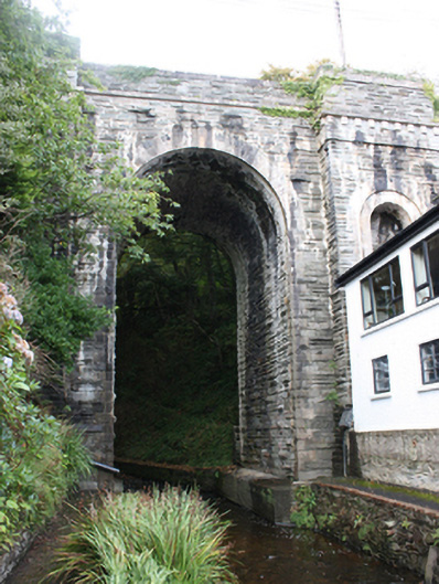
Single-arch road bridge spanning Bredagh River, built c. 1853. Squared and coursed rubble walls with large ashlar stone coping to crenulated parapets, and ashlar stringcourse to outer walls at base of parapet. Round-headed arch having ashlar voussoirs with articulated key-stone detail with rock-faced block-and-start quoins to piers. Arch flanked by projecting squared coursed stone pilasters with dentilated ashlar stringcourse at deck-level, incorporating round-headed niches with ashlar voussoirs and rock-face relieving arches and quoins. Coursed rock-faced rubble walls to piers and abutments. Squared coursed rubble to soffits; rock-faced rubble to interior of piers. Double carriageway with tarmac to deck. Located west of Moville, at foot of Bredagh Glen, where Bredagh River meets Lough Foyle.
Perhaps one of the most dramatic bridges in the whole of County Donegal, this imposing structure has become a landmark intrinsic with the identity of the town of Moville. A major feat of engineering, it is also notable for the part it played in securing the economic role of the town by bringing the new Derry Road through Moville and opening it to trade at a time when it was principally a resort town. This very fine bridge is notable for the tall elegant arch and the quality of the stonework, which is testament to the skill of the masons involved in its original construction. Construction work started in started April 1852 and it was completed in 1853. McIlwee was the main contractor. It replaced an earlier bridge to the same site (depicted on the Ordnance Survey first edition six-inch map of 1837), with the road realignment cutting through a large ringfort. The fine architectural details, the gigantic proportions, and the evident high quality masonry skills, make it a structure of merit to the architectural heritage of the county. Its setting over the deep, mossy and somewhat dramatic Bredagh Glen adds to its character.
This does not grant access. Most recorded buildings are privately owned; view them only from public ground unless the owner allows entry.
Places near here
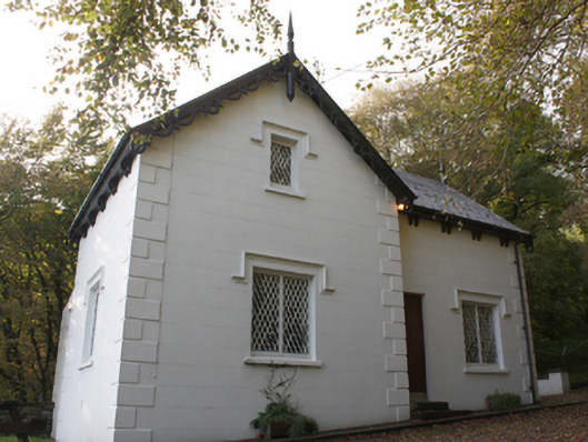 gate lodgegate lodge · 28 yd
 Glebe Fairy FortFairy fort / earthen ringfort · 51 yd
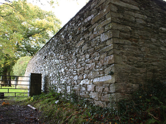 walled gardenwalled garden · 226 yd
 Old CrossCross, High cross · 1010 yd
 Cooley CrossMemorial · 1011 yd
 Castle CaryCastle, unclassified · 1.4 mi
 CrockavishaneMountain / peak · 2.3 mi
 Site of Red CastleCastle, unclassified · 2.8 mi
 CrockaulinMountain / peak · 3.3 mi
 Inishowen Maritime Museum and PlanetariumMuseum · 3.4 mi
 Sweet Nellie'sBeach / strand · 5.1 mi
 White StrandBeach / strand · 5.5 mi
Other information
Photo: National Inventory of Architectural Heritage · Website use allowed for educational or private purposes with source credit