What is recorded here
A standing stone 2.46m high × 0.81m wide at base × 0.5m thick; NE-SW. Situated on pasture land.
The above description was derived from the 'Archaeological Survey of County Donegal. A description of the field antiquities of the County from the Mesolithic Period to the 17th century.' Compiled by: Brian Lacey with Eamon Cody, Claire Cotter, Judy Cuppage, Noel Dunne, Vincent Hurley, Celie O'Rahilly, Paul Walsh and Seán Ó Nualláin (Lifford: Donegal County Council, 1983). In certain instances the entries have been revised and updated.
Date of upload: 22 September 2008
Dated to the Late Neolithic or Bronze Age, this standing stone may have had ceremonial or territorial significance. No inscriptions or carvings are recorded, and local folklore or specific use remains unreported.
The monument record does not grant public access. Check the route and ask the landowner before entering private land.
- What survives
- Recorded monument
Places near here
 Old CrossCross, High cross · 483 yd
 Cooley CrossMemorial · 487 yd
 Cooly Cat's Eyes Cross SlabCross-slab · 500 yd
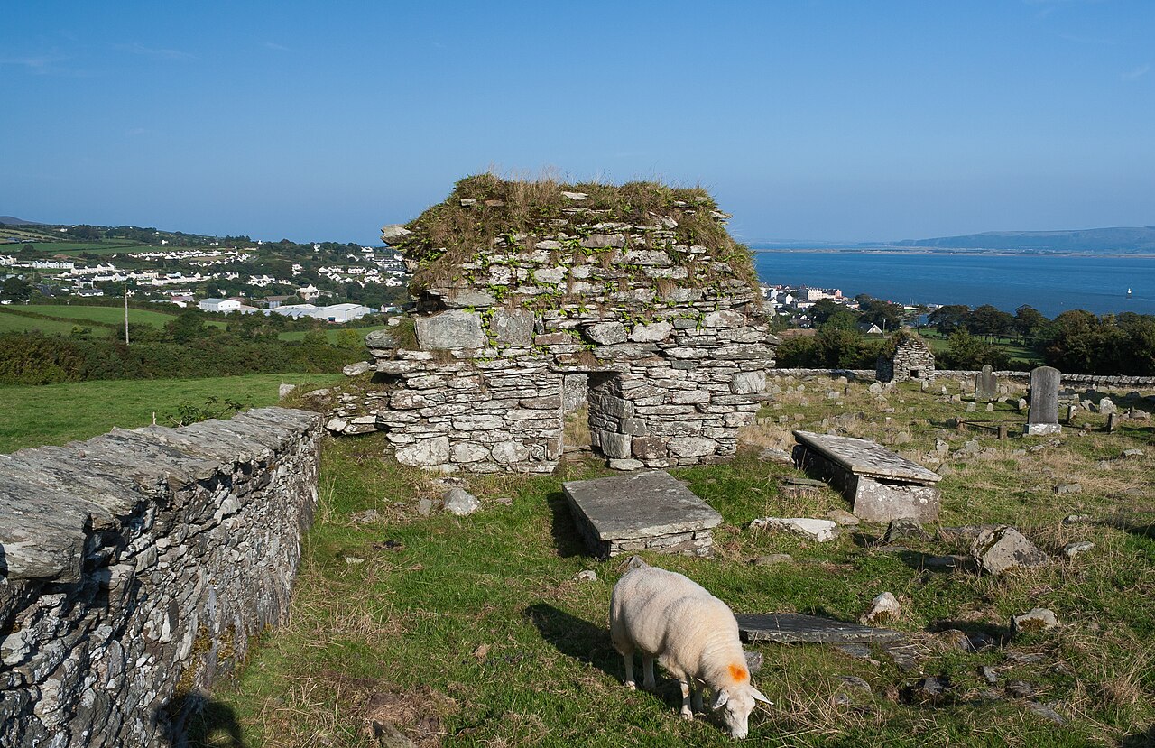 Old ChurchChurch · 503 yd
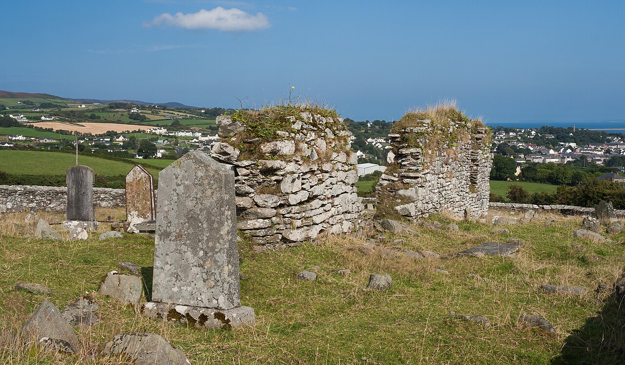 Church (In Ruins)Church · 512 yd
 Castle CaryCastle, unclassified · 1.4 mi
 CrockavishaneMountain / peak · 2.0 mi
 Site of Red CastleCastle, unclassified · 2.9 mi
 CrockaulinMountain / peak · 3.1 mi
 Inishowen Maritime Museum and PlanetariumMuseum · 3.4 mi
 Sweet Nellie'sBeach / strand · 5.0 mi
 White StrandBeach / strand · 5.4 mi