
What is recorded here
The early ecclesiastical site here consists of a sub-rectangular shaped graveyard inside of which are a number of earlier features. The site is located on excellent land sloping to Lough Foyle to the E and is traditionally claimed to have been founded by St. Patrick (Gwynn and Hadcock 1970, 399). To the W outside the entrance to the graveyard (DG021-008001-) is a tall, plain, ringed high-cross (DG021-008005-). Inside the graveyard are the remains of two churches (DG021-008002-/003-) and a mortuary house or tomb shrine (DG021-008004-). One of the churches served as a medieval parish church (Leslie 1937, 265).
On the S side of this church (DG021-008002-) there is a small stone cross measuring 0.73m × 0.6m with some indecipherable lettering on the E face. This stone cross is located to the S of the church (DG021-008002-) and adjacent to the S wall of the graveyard (DG021-008001-). It is probably a post-1700 grave-marker (Lacy et. al. 1983, 261). A graveyard plan drawn by the Cooley Cross Heritage Committee shows a small cross-shaped stone lying immediately N of the S wall of the graveyard.
The attached image (DG021-008009-_03.jpg) is a plan of the church and graveyard commissioned by the Cooley Cross Heritage Committee showing location of cross-shaped stone.
The above description was derived from the 'Archaeological Survey of County Donegal. A description of the field antiquities of the County from the Mesolithic Period to the 17th century.' Compiled by: Brian Lacey with Eamon Cody, Claire Cotter, Judy Cuppage, Noel Dunne, Vincent Hurley, Celie O'Rahilly, Paul Walsh and Seán Ó Nualláin (Lifford: Donegal County Council, 1983). In certain instances the entries have been revised and updated.
Compiled by: Caimin O'Brien
Date of revised upload: 24 February 2015
The monument record does not grant public access. Check the route and ask the landowner before entering private land.
- What survives
- Recorded monument
Places near here
 Cooly Wheel-Head Cross SlabCross-slab · 8 yd
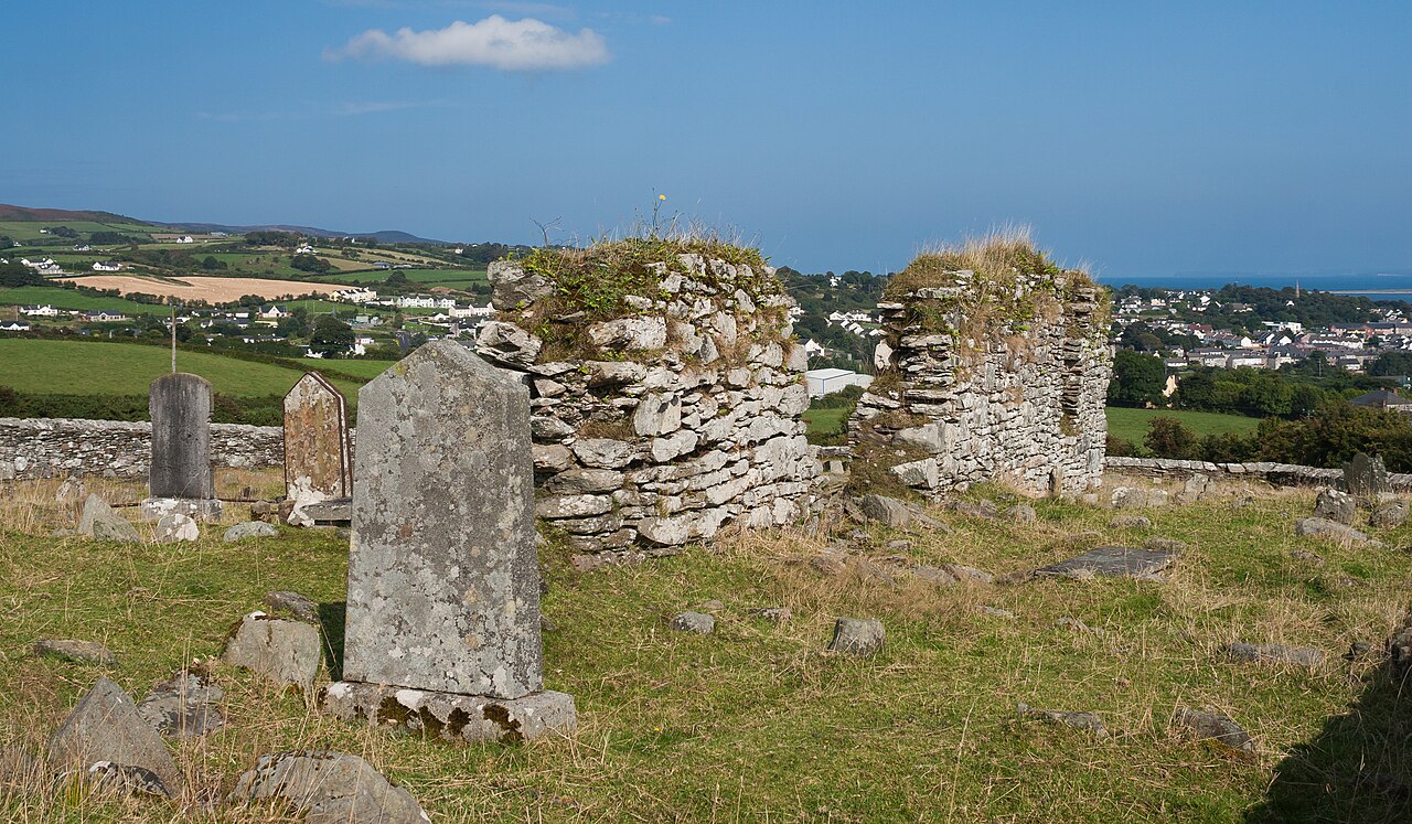 Church (In Ruins)Church · 9 yd
 Cooly Carolyne StoneArchitectural fragment · 13 yd
 Cooly Graveyardgraveyard/cemetery · 16 yd
 Cooley CrossMemorial · 32 yd
 Castle CaryCastle, unclassified · 1.7 mi
 CrockavishaneMountain / peak · 2.1 mi
 CrockaulinMountain / peak · 2.8 mi
 Inishowen Maritime Museum and PlanetariumMuseum · 3.1 mi
 Site of Red CastleCastle, unclassified · 3.2 mi
 Sweet Nellie'sBeach / strand · 4.7 mi
 White StrandBeach / strand · 5.1 mi
Other information
Photo: Andreas F. Borchert · CC BY-SA 4.0