
What is recorded here
From the National Monuments Service (Archaeological Survey of Ireland) record KE093-047
Places near here
Photo credits
- N Chadwick, Geograph · CC BY-SA 2.0
- P L Chadwick, Geograph · CC BY-SA 2.0
- National Inventory of Architectural Heritage
- Maker not stated on source page, www.flickr.com
- Golfing in Ireland; photographer not stated, Source publisher
- Maker not stated on source page, tr.pinterest.com
- Maker not stated on source page, www.irelandhighlights.com
- Kenmare Shamrocks GAA official club website; individual aerial photographer not named, kenmaregaa.ie
 Kenmare National SchoolSchool · 1.9 mi
Explorer Tom Kenmare National School is cursed so that anyone who walks past without waving gets a mild headache by dinner time.…
 D.j. Cremin and SonsHouse · 1.9 mi
Explorer Tom House in Kenmare is surviving zombie attacks by hiding behind its fluted pilasters and Corinthian capitals. Built…
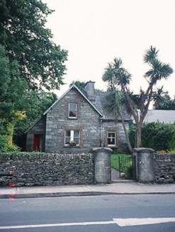 school master's house1.9 mi
Explorer Tom The school master’s house in Kenmare has an imaginary fan club that meets every Thursday at noon. It’s a modest two-bay…
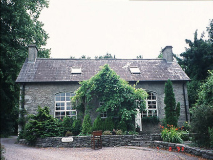 office1.9 mi
Explorer Tom The Kenmare office started from a bet two lads made after too many pints. They swore it would last a century, and…
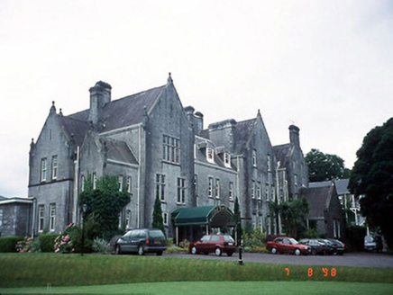 Park HotelHotel · 2.0 mi
Explorer Tom The Park Hotel in Kenmare caused such an argument that three families stopped speaking to each other for a decade. It’s…
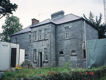 Kenmare Garda Síochána StationRic barracks · 2.0 mi
Explorer Tom The Kenmare Garda Station boasts about surviving a storm that never actually happened to anyone else. It just wants you…
 Finnihy BridgeBridge · 2.0 mi
Explorer Tom Finnihy Bridge has been feuding with the next village over something daft, probably about whose side of the river is…
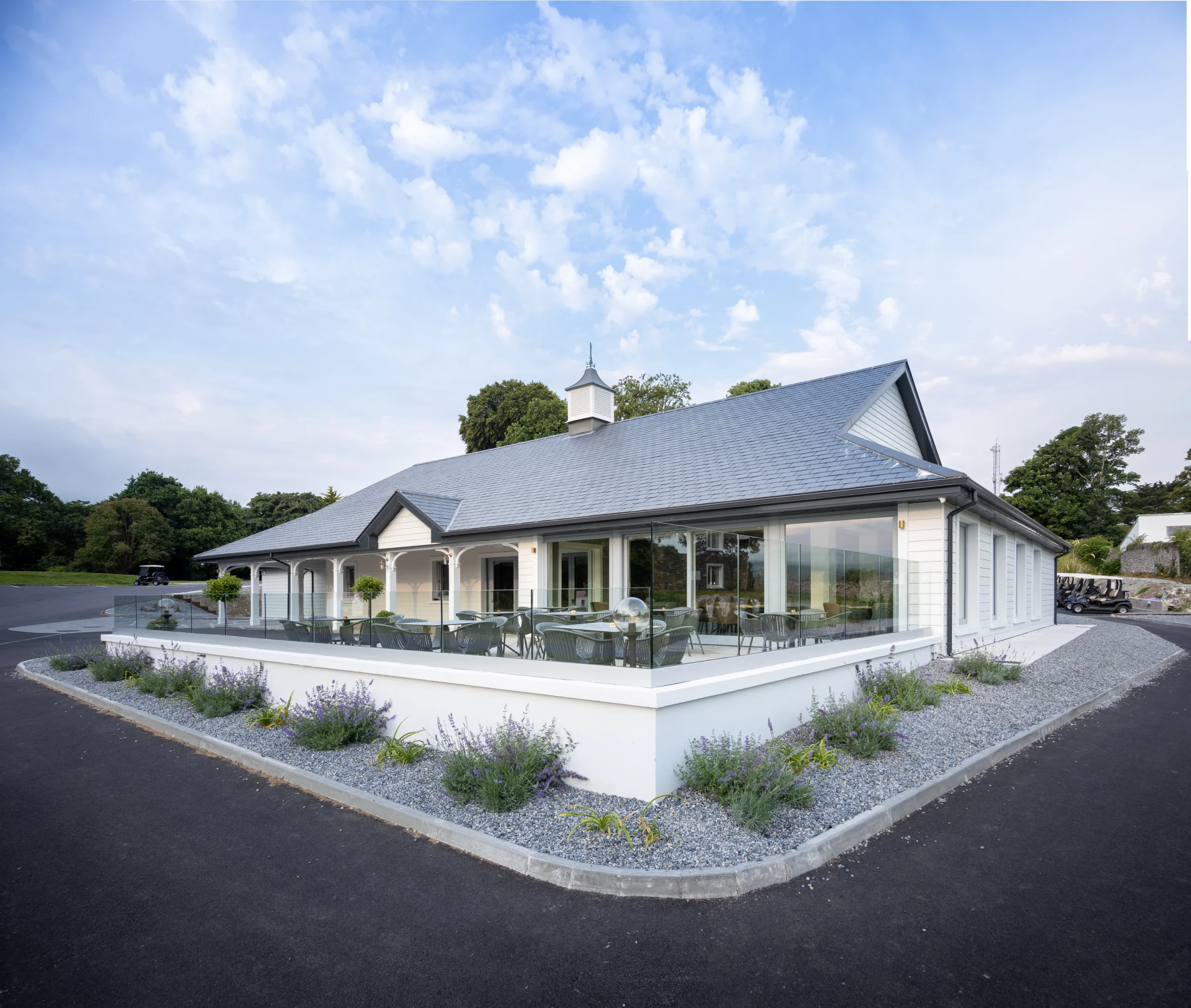 Kenmare Golf ClubGolf course · 2.0 mi
 Enclosure in DerrynacaheraghEnclosure · 2.0 mi
Explorer Tom Enclosure in Derrynacaheragh is hiding a message in its stones if you squint hard enough and pretend to be an…
 The Lodge WoodWood · 2.2 mi
Explorer Tom The Lodge Wood in County Kerry is refusing to fall down despite looking like it’s one strong breeze away from total…
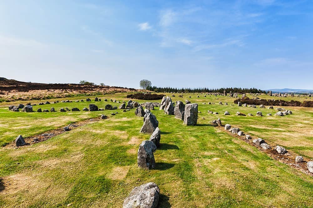 Standing stone in DerryvorahigStanding stone · 2.2 mi
Explorer Tom Standing stone in Derryvorahig has a name that sounds like it means 'the devil’s porch,' or maybe not. It just stands…
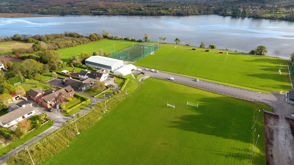 Kenmare Shamrocks GAA pitchGAA ground · 2.4 mi
More archaeology and monuments in County Kerry · All of County Kerry

What do you know about this place?Tap to add a comment or ask a question