What is recorded here
Not shown on 1842 and 1903 OS 6-inch maps. Marked on 1940 OS 6-inch map as single stone in field to N of possible stone circle (6484) and pair of standing stones (6571). In pasture, beside field fence. Removed c. 1981. No visible surface trace.
The above description is derived from the published 'Archaeological Inventory of County Cork. Volume 3: Mid Cork' (Dublin: Stationery Office, 1997). In certain instances the entries have been revised and updated in the light of recent research.
Date of upload/revision: 14 January 2009
The monument record does not grant public access. Check the route and ask the landowner before entering private land.
- What survives
- Recorded monument
Places near here
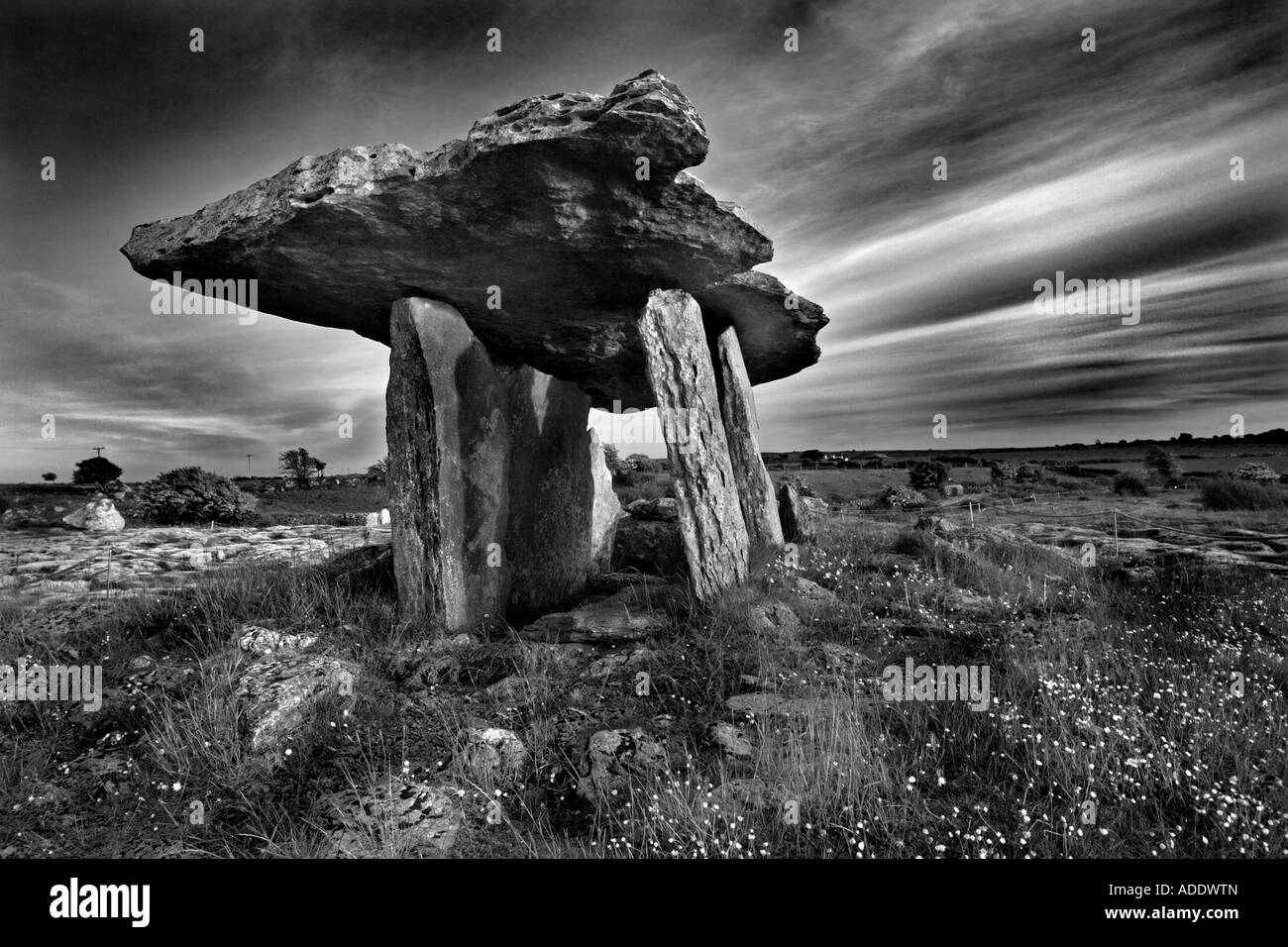 DolmenWedge tomb · 374 yd
 Fulacht FiadhFulacht fia · 389 yd
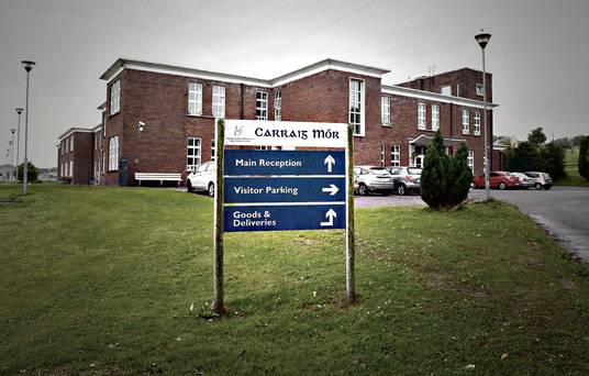 Carraig na Speireoige Chp (in Rns)Church · 1.1 mi
 sign postsign post · 1.4 mi
 Neill's WoodWood · 2.5 mi
 Clonavrick CliffCliff · 2.9 mi
 Carrigaphooca CastleCastle · 3.1 mi
 Curraheen WoodWood · 3.5 mi
 Cnoc na nUlán (mullach thoir)Mountain / peak · 3.9 mi
 Macroom WalksVisitor information · 4.0 mi
 Macroom Castle (in Ruins)Castle, tower house · 4.0 mi
 Battle of Macroombattle · 4.2 mi