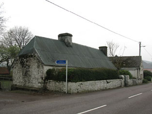
What is recorded here
Detached four-bay single-storey direct entry farmhouse, c.1775, on a rectangular plan originally three-bay single-storey. Now disused. Hipped gabled and pitched corrugated-iron roof with pressed iron ridge, rendered chimney stack (south) having rendered rounded capping, concrete coping to gable (north) with rendered…
Read the whole record
From the Buildings of Ireland (National Inventory of Architectural Heritage) record 20905910
Places near here
Photo credits
- National Inventory of Architectural Heritage
- Kmcnamee, Wikimedia Commons · CC BY-SA 4.0
- Maker not stated on source page, it.pinterest.com
- Maker not stated on source page, en.wikipedia.org
- Maker not stated on source page, commons.wikimedia.org
- Maker not stated on source page, www.dreamstime.com
- Echo Live; individual photographer not stated on accessible page (article by Barry O’Mahony), www.echolive.ie
 hall52 yd
Explorer Tom Hall in Garranenagappul is hiding a legend about a giant who used to use its round-headed door as a hat stand, which is…
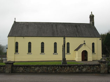 St Abina's Roman Catholic ChurchChurch/chapel · 173 yd
Explorer Tom St Abina's Roman Catholic Church in Garranenagappul is rocking with its barn-style charm from 1877. It replaced an…
 Garranenagappul BridgeBridge · 229 yd
Explorer Tom Garranenagappul Bridge spans the Foherish, covering its rubble core with rendered paint because it’s shy about its own…
 sign post314 yd
Explorer Tom Sign post in Caherkeegane is complaining to the council that its harp motif is out of fashion. It’s been standing there…
 Clondrohid GAA pitchGAA ground · 374 yd
 Fairy fort / earthen ringfort in GarranenagappulFairy fort / earthen ringfort · 435 yd
Explorer Tom Fairy fort in Garranenagappul has a limekiln built right into its bank, which is weird but cool. The stone facing looks…
 Bullaun stone in Glebe (muskerry West By., Clondrohid Par.)Bullaun stone · 1628 yd
Explorer Tom Bullaun stone in Glebe is cemented into place outside a graveyard, which is either very practical or incredibly rude.…
 Fairy fort / stone ringfort in Gortnalicky (muskerry West By.)Fairy fort / stone ringfort · 1695 yd
Explorer Tom Fairy fort / stone ringfort in Gortnalicky would tell you after a few pints that the stones are actually giant sleeping…
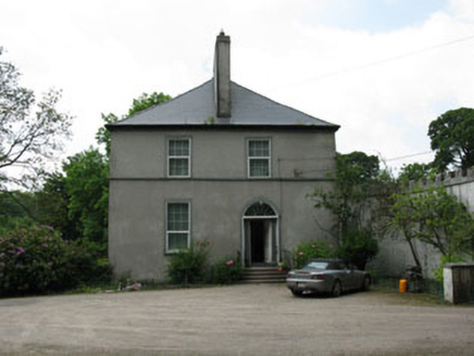 Clondrohid LodgeRectory/glebe/vicarage/curate's house · 1.0 mi
Explorer Tom Clondrohid Lodge in Glebe was built by a Rector named Robert Kirchoffer in 1812. It has tall chimneystacks that anchor…
 Bealahacreagh BridgeBridge · 1.1 mi
Explorer Tom Bealahacreagh Bridge is a six-span stone giant from 1820 spanning the River Finnow. It’s got rubble walls and dressed…
 Stone CircleStone circle, five-stone · 1.6 mi
Explorer Tom Stone Circle in Lissacresig is a five-stone chat group where everyone has something to say, but nobody actually listens…
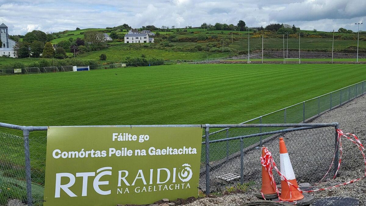 Páirc Uí Chuana, Cill na MartraGAA ground · 3.4 mi
More historic places in County Cork · All of County Cork

What do you know about this place?Tap to add a comment or ask a question