What is recorded here
Half-hidden in pasture beside the Foherish River, a broken earthen ring still stands where Clondrohid people once lived or feared the fairies. Its stone-faced bank rises nearly two metres, while a forgotten limekiln bites into the outer edge like a mouth waiting for fire. The missing half has vanished into grass and time, leaving only a curve that dares you to complete it with memory.
In pasture, on level ground, between Foherish River and Clondrohid village. Arc (C 30m) formed by earthen bank (int. H 1.8m) NNW->SSE, with external fosse (D 1.2m) NNW->E. Bank stone-faced internally; funnel of limekiln built into outer bank face to ESE. No visible surface trace of bank SSE->NNW.
The above description is derived from the published 'Archaeological Inventory of County Cork. Volume 3: Mid Cork' (Dublin: Stationery Office, 1997). In certain instances the entries have been revised and updated in the light of recent research.
Date of upload/revision: 14 January 2009
The monument record does not grant public access. Check the route and ask the landowner before entering private land.
- What survives
- Recorded monument
Places near here
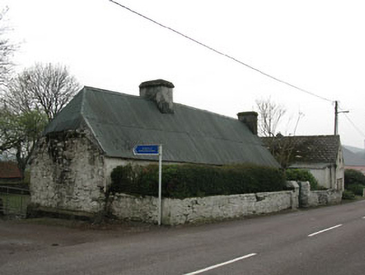 farm housefarm house · 435 yd
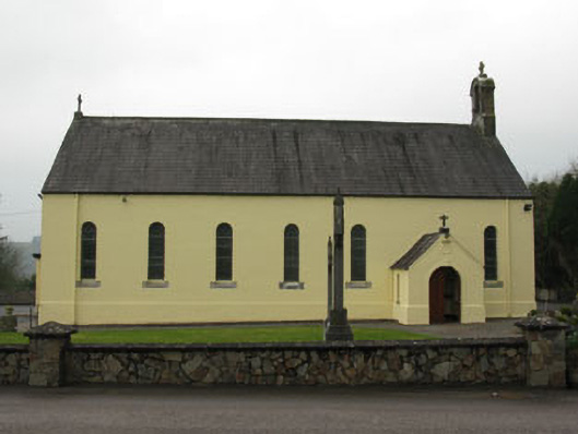 St Abina's Roman Catholic Churchchurch/chapel · 440 yd
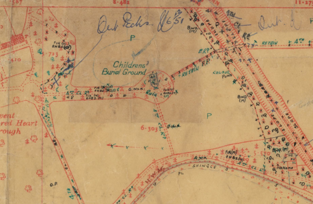 Childrens Burial Ground (Disused)Burial ground · 950 yd
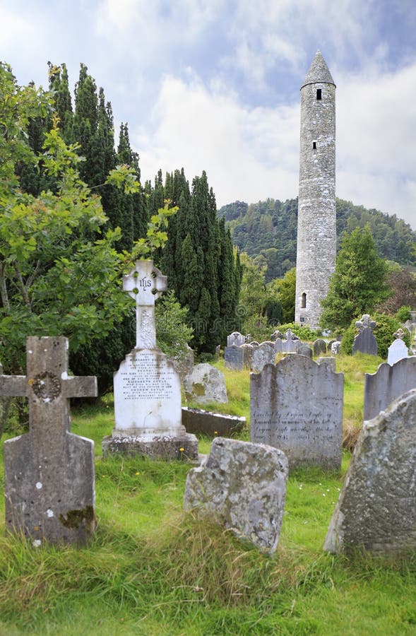 Childrens Burial GdBurial ground · 1558 yd
 Carrigaphooca CastleCastle · 1.5 mi
 Curraheen WoodWood · 2.0 mi
 Neill's WoodWood · 2.2 mi
 Dundareirke Castle (in Ruins)Castle, tower house · 2.5 mi
 Macroom WalksVisitor information · 3.3 mi
 Battle of Macroombattle · 3.5 mi
 Clonavrick CliffCliff · 3.7 mi
 Cnoc na nUlán (mullach thoir)Mountain / peak · 4.1 mi