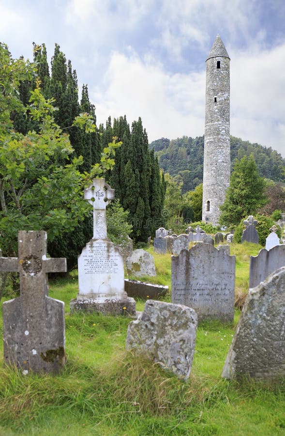
What is recorded here
In rough grazing, on S-facing slope. Rectangular area (38m N-S; 19m E-W) defined by rock outcrop on N side, field fence on E side, and by overgrowth on S and W sides. Interior overgrown and strewn with loose stones; three upright rectangular stones (H 1m; 0.2m x 0.1m: H 0.7m; 0.2m x 0.1m: H 0.5m; 0.2m x 0.1m), set c. 1m apart, form triangle in SE corner; rectangularmound of small stones (H 0.25m; 2.5m N-S; 1.2m E-W), roughly defined by some fallen and upright slabs, in SW corner. No inscribed stones noted. Known locally as famine burial ground.
The above description is derived from the published 'Archaeological Inventory of County Cork. Volume 3: Mid Cork' (Dublin: Stationery Office, 1997). In certain instances the entries have been revised and updated in the light of recent research.
Date of upload/revision: 14 January 2009
The monument record does not grant public access. Check the route and ask the landowner before entering private land.
- What survives
- Recorded monument
Places near here
 Carrigaphooca Bridgebridge · 886 yd
 Carrigaphooca Stone CircleArchaeological place · 998 yd
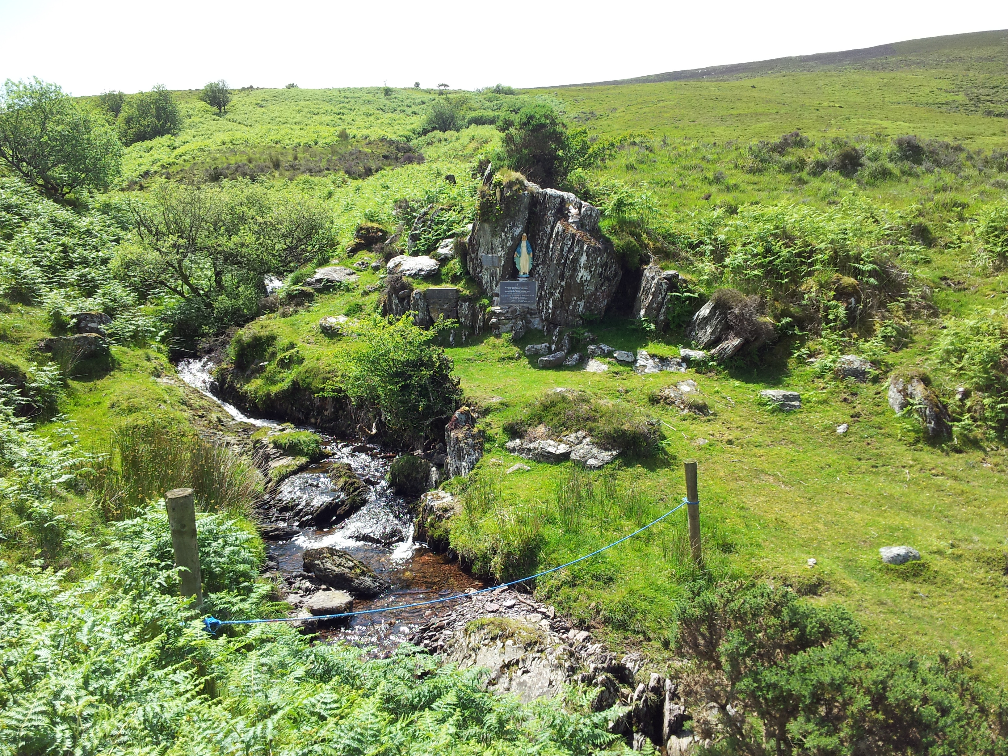 Mass RockMass-rock · 1001 yd
 Carrigaphooca CastleCastle · 1028 yd
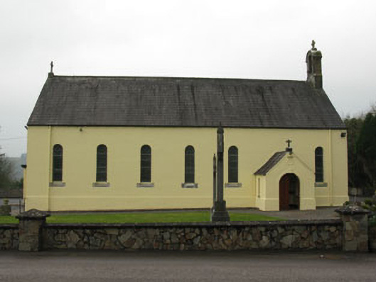 St Abina's Roman Catholic Churchchurch/chapel · 1646 yd
 Curraheen WoodWood · 1.3 mi
 Dundareirke Castle (in Ruins)Castle, tower house · 1.7 mi
 Neill's WoodWood · 2.4 mi
 Macroom WalksVisitor information · 3.0 mi
 Battle of Macroombattle · 3.3 mi
 Clonavrick CliffCliff · 4.2 mi
 Cnoc na nUlán (mullach thoir)Mountain / peak · 4.7 mi
Other information
Photo: Credit not shown in the picture search · Rights wording not checked; contact us if this picture should be removed