
Places near here
Photo credits
- Richard Fensome, Geograph · CC BY-SA 2.0
- EchoLive; individual photographer not named on source article, www.echolive.ie
- National Inventory of Architectural Heritage
- Ardfern, Wikimedia Commons · CC BY-SA 3.0
- Hourihan Sports & Civil; individual photographer not stated, www.hourihan.ie
- Brendandiamond, Wikimedia Commons · CC BY-SA 3.0
- Hywel Williams, Geograph · Creative Commons Attribution-ShareAlike 2.0
 Inishcarra BridgeBridge · 929 yd
Explorer Tom Inishcarra Bridge over the River Lee has been rebuilt since 1805 to handle gunpowder mill traffic, but now it just…
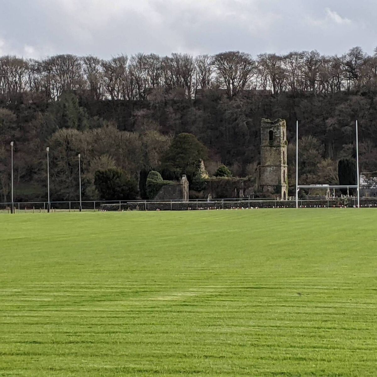 O'Briens Field, DripseyGAA ground · 1191 yd
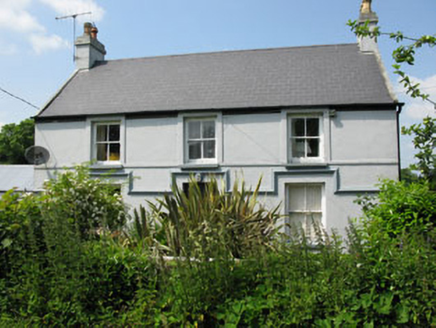 Currabeha HouseFarm house · 1367 yd
Explorer Tom Currabeha House in County Cork is having a serious identity crisis with its chimneys. It’s a traditional farm setup…
 Classes HouseCountry house · 1482 yd
Explorer Tom Classes House in Classes is dated eighteen-twenty-three, which means it’s been around the block a few times. It has a…
 Powder MillsMill, gunpowder · 1504 yd
Explorer Tom Powder Mills on Great Island says a giant once threw a stone here and missed the river entirely. He was trying to hit…
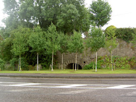 kiln1528 yd
Explorer Tom Kiln in Coolroe once had a cow try to buy it with a bag of shiny pebbles and a lot of loud chewing. It’s still standing…
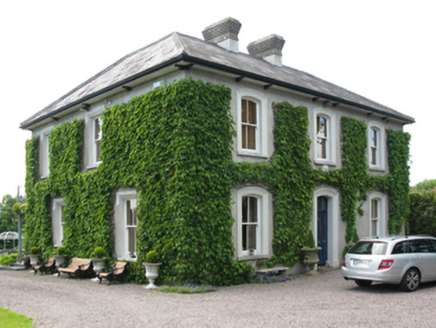 Coolroe House originally Millview HouseHouse · 1583 yd
Explorer Tom Coolroe House, formerly Millview, is dressed for dinner with sleek dressings and a slightly oversailing roofline that…
 bridge1623 yd
Explorer Tom Bridge in Classes has a lightness and elegance that makes earlier bridges look like bricks. It would order a chipper…
 Ballincollig GAA pitchGAA ground · 1.5 mi
 Ballincollig CastleCastle · 1.6 mi
Explorer Tom Ballincollig Castle sits high enough to watch the Maglin Valley and low enough for me to imagine I could defend it. The…
Ballincollig Castle (in Ruins)Bawn · 1.6 miExplorer Tom The Bawn of Ballincollig Castle has a big gap in the east wall. It runs around the edge of the rocky outcrop with…
 Grave YardGraveyard · 1.9 mi
Explorer Tom Graveyard in Kilnaglory has a church ruin in the middle that's seen better days. Headstones go back to 1760, so plenty…
More archaeology and monuments in County Cork · All of County Cork

What do you know about this place?Tap to add a comment or ask a question