
What is recorded here
On N side of road; small rectangular graveyard (35m E-W; 19m N-S; see plan,Henchion 1969b, 186) enclosed by stone wall with vertical coping; NE, NWand SE corners curved. At centre, ruin of Kilnaglory parish church (CO073-060002-). In occasional use; Henchion (ibid.) records memorial inscriptions, earliest inscribed headstone noted dated 1760 (ibid.; Brunicardi 1913, 49).
From the National Monuments Service (Archaeological Survey of Ireland) record CO073-060001
The monument record does not grant public access. Check the route and ask the landowner before entering private land.
- What survives
- Recorded monument
Places near here
 bridge514 ydFulacht fia in KilnagloryFulacht fia · 521 yd
 Ballincollig CastleCastle · 1353 yd
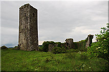 Ballincollig Castle (in Ruins)Castle, tower house · 1364 ydCave in Ballincollig (muskerry East By., Carrigrohane Par.)Cave · 1384 yd
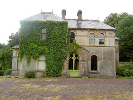 ParknamoreHouse · 1668 ydGrange HillMountain / peak · 1.2 miPatrick BurnsMemorial · 1.7 miGraveyard in Carrigane (muskerry East By.)Graveyard · 1.7 mi
 Kilcrea CastleWood · 4.5 mi
 Grave YardGraveyard · 4.7 mi
 Sunday WellSpring · 5.5 mi
Pictures: National Inventory of Architectural Heritage; Brendandiamond, Wikimedia Commons · CC BY-SA 3.0; Mike Searle, Geograph · CC BY-SA 2.0; Richard Fensome, Wikimedia Commons · CC BY-SA 2.0; Hywel Williams, Geograph · CC BY-SA 2.0; Neville Goodman, Wikimedia Commons · CC BY-SA 2.0
More archaeology and monuments in County Cork · All of County Cork
What do you know about this place?