What is recorded here
On N side of road just W of fork of two roads. No visible surface trace. According to local information, the word 'Dromdaleague' was inscribed onstone.
The above description is derived from the published 'Archaeological Inventory of County Cork. Volume 1: West Cork' (Dublin: Stationery Office, 1992). In certain instances the entries have been revised and updated in the light of recent research.
Date of upload/revision: 14 January 2009
The monument record does not grant public access. Check the route and ask the landowner before entering private land.
- What survives
- Recorded monument
Places near here
 IndicatedFairy fort / earthen ringfort · 605 yd
 Drimoleague Heritage Loop WalkWalking route · 685 yd
 Grave YardGraveyard · 707 yd
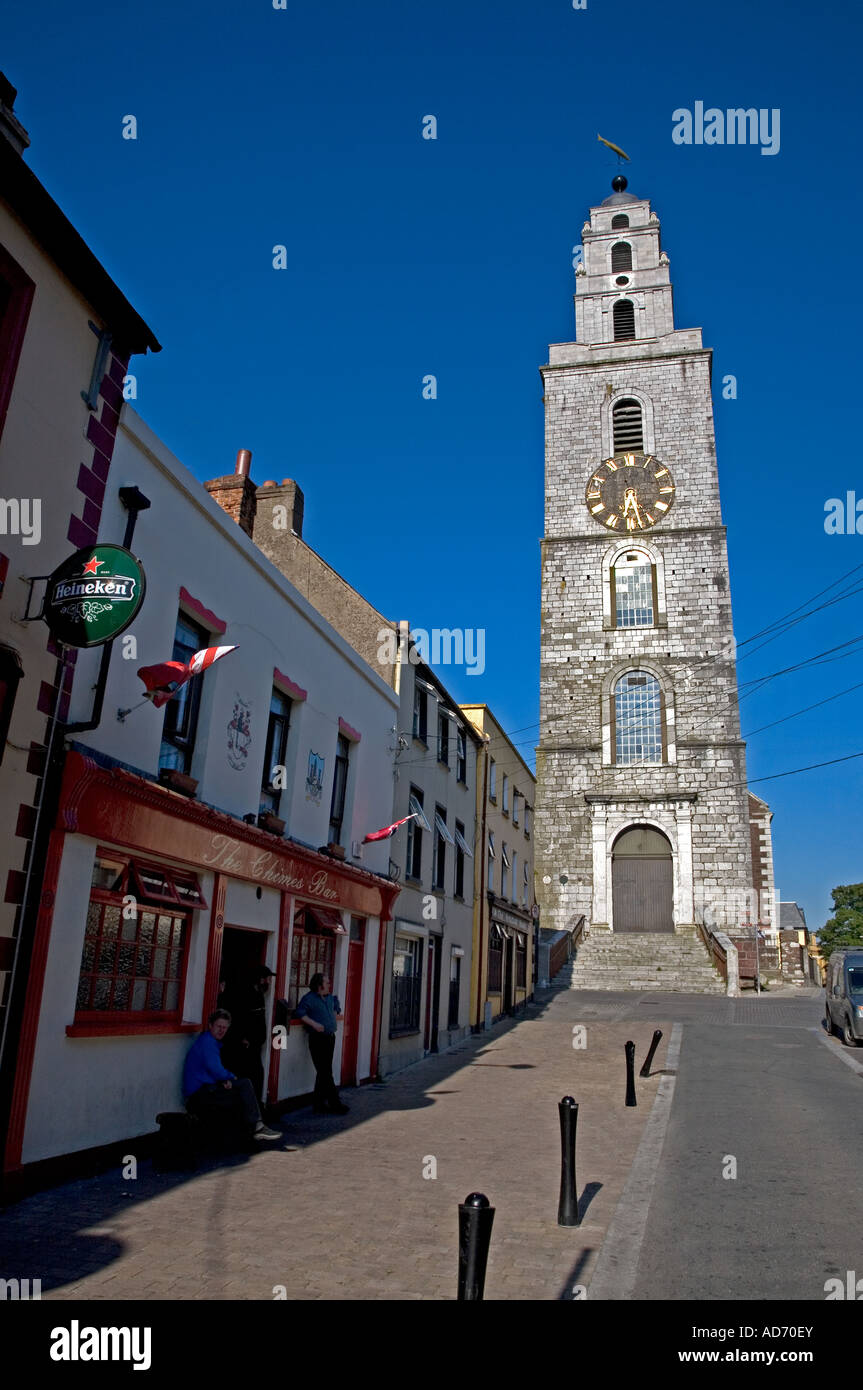 Church (in Ruins)Church · 711 yd
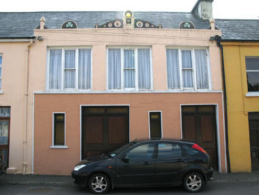 shop/retail outletshop/retail outlet · 725 yd
 Moyny Bridge WalkWalking route · 1270 yd
 Castle DonovanCastle · 2.1 mi
 Castle Donovan (in Ruins)Castle, tower house · 2.1 mi
 Milane HillMountain / peak · 3.0 mi
 Nowen Hill SW TopMountain / peak · 3.3 mi
 Wild Atlantic WayVisitor information · 8.5 mi
 Monterey CypressMonterey Cypress · 9.5 mi