What is recorded here
Situated on the E side of a stream that curves E-N-S around the N edge of the Monavar valley, on ground that slopes gently down to the S. Two kidney-shaped, heather-covered mounds separated by an old N-S stream bed. The E mound (WA023-066039-) is larger, but the W mound (dims. 11m NE-SW; 6.7m NW-SE; max. H 1.2m) is open to the SE. (Moore 1995, 217, 225, 241, F12, F13)
This monument forms part of the national monument complex at Coumaraglinmountain (National Monuments (Preservation) Order No. 4 of 1996).
Compiled by: Michael Moore
Date of upload/revision: 29 April 2011
The monument record does not grant public access. Check the route and ask the landowner before entering private land.
- What survives
- Recorded monument
Places near here
 CairnCairn, unclassified · 274 yd
 Field system in CoumaraglinmountainField system · 349 yd
 Standing StoneMemorial · 743 yd
 KilnKiln, lime · 1635 yd
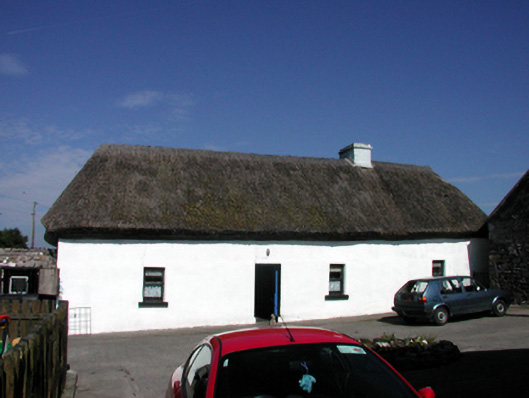 farm housefarm house · 1.4 mi
 Coumaraglin MountainMountain / peak · 1.6 mi
 CrohaunMountain / peak · 1.9 mi
 Bawn in BarnankileBawn · 3.2 mi
 Mahon ValleyCliff · 3.8 mi
 Castle (in ruins)Castle, tower house · 3.9 mi
 Magic Road (start)Heritage attraction · 4.6 mi
 Magic Road (finish)Heritage attraction · 4.7 mi