
What is recorded here
Located at the crest of the E-facing slope at the NE summit of a NE-SW drumlin ridge. This is a circular grass-covered area (diam. 32m NW-SE; 31m NE-SW) defined by an earthen bank (Wth of base 10-11m; int. H 0.9-1.4m; ext. H 2.5-2.7m) separated by an fosse (Wth of top 8-9m; Wth of base c. 2m; ext. D 0.7m-1.4m) from an…
Read the whole record
From the National Monuments Service (Archaeological Survey of Ireland) record MO027-003
Places near here
Picture notes
- Computer-made picture. It does not show this monument.
- Eric Jones, Geograph · Creative Commons Attribution-ShareAlike 2.0
- National Inventory of Architectural Heritage
- Computer-made picture. It does not show this playground.
- Computer-made picture. It does not show this mountain top.
- Oliver Dixon, Geograph · CC BY-SA 2.0
 Fairy fort / earthen ringfort in TullyrainFairy fort / earthen ringfort · 256 ydComputer-made picture
 Corlat Old SchoolSchool · 648 yd
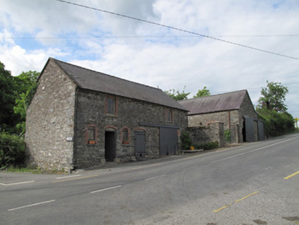 outbuilding676 yd
 Man-made underground passage in LisirrilMan-made underground passage · 966 ydComputer-made pictureTally WoodWood · 2.0 mi
 Children's playground2.1 miComputer-made picture
 LisnadarraghMountain / peak · 2.3 miComputer-made picture
 BananimmaMountain / peak · 2.3 miComputer-made pictureSenator Billy Fox 1939 - 1974Memorial · 2.8 miGull IslandIslet · 3.3 mi
Explorer Tom This second Gull Island is another tiny, bird-filled spot in County Cavan that likely shares the same windy, coastal character as its namesake.
Sillan LakeshoreWood · 3.3 miExplorer Tom Sillan Lakeshore in County Cavan places you right on the water’s edge, where the wood meets the lough in a beautiful, reflective embrace.
 Bush IslandIslet · 3.3 mi
Explorer Tom Bush Island might actually be a hidden crannog in Lough Sillan, waiting for us to discover its secret, mossy, ancient history today.
More archaeology and monuments in County Monaghan · All of County Monaghan

What do you know about this place?Tap to add a comment or ask a question