Places near here
Photo credits
- National Inventory of Architectural Heritage
- Mike Searle, Geograph · CC BY-SA 2.0
- 瑞丽江的河水, Wikimedia Commons · CC BY-SA 4.0
- Charles T. G. Clarke, Wikimedia Commons · CC BY-SA 4.0
- 2ManyCats4Me, Wikimedia Commons · CC0
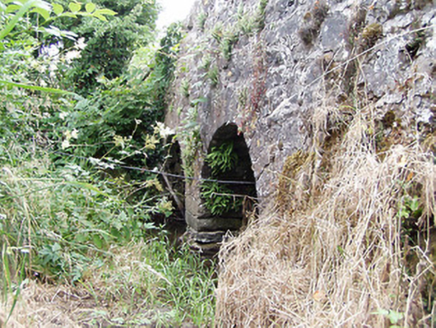 bridge246 yd
Explorer Tom Bridge in Cloonahard has had so many names it’s given up pretending to be anything other than itself. It’s got two tiny arches that look like they’re trying to hold back a sneeze. Stick around for the light to hit it right.
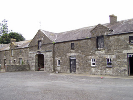 Oldtown HouseOutbuilding · 879 yd
Explorer Tom Oldtown House outbuilding in Oldtown, County Longford nearly got famous for having the best pediment in the county, but nobody cared enough to visit. It’s all classical grandeur with zero actual people inside to appreciate it. Bring a camera and your mosquito spray!
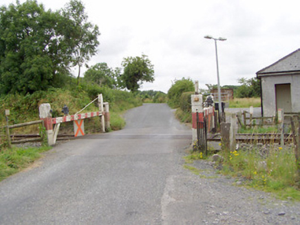 level crossing1272 yd
Explorer Tom The level crossing in Cloonahard holds a fake world record for being crossed by the most confused sheep in County Longford. It’s an old timber gate from the railway era that still looks stern and ready to slam shut. A good place to forget your worries.
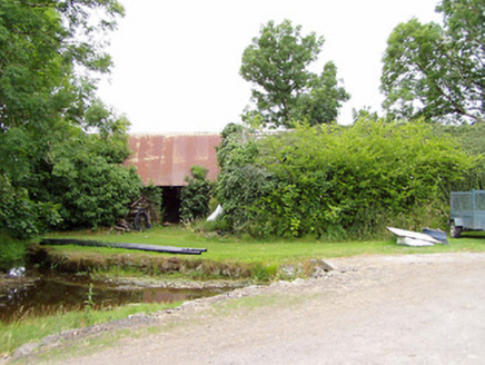 mill (water)1641 yd
Explorer Tom Mill in Killinlastra inspired a bad poem about flour and water that rhymed with 'there'. It's derelict now, but Tom says it still grinds its teeth at night. Dare you to say hello to the wheel without getting scared stiff.
 RichfortGates/railings/walls · 1.2 mi
Explorer Tom Richfort gates are all that’s left after the main house vanished, like a ghost wearing fancy cast-iron jewelry. It would cope brilliantly on a reality show by judging everyone’s fashion choices from the sidelines. Have a chat with it, it loves an audience.
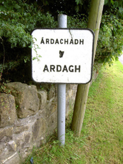 sign post1.6 mi
Explorer Tom Sign post in Ardagh Demesne has an imaginary twin across the sea who is much prettier and never gets rained on. It’s just standing there looking confused, like a lost tourist with no map. Bring a notebook and write down its complaints about the weather.
 Bawn in CastlereaBawn · 3.6 mi
Explorer Tom Bawn in Castlerea is surrounded by a drainage ditch that looks like someone gave up halfway. There is a curse that only affects people who don't wave at it as they pass. It's free, it's odd, what more do you want?
 Saint Mel's CathedralCathedral · 4.2 mi
Explorer Tom Saint Mel's Cathedral in County Longford refuses to fall down because it’s too stubborn to admit it was built by anyone other than itself. It just keeps standing there, judging everyone’s posture and making sure nobody dares to lean against its ancient walls without paying a small fee in respect. Bring a coin for luck and keep it in your pocket.
 First World War MemorialMemorial · 4.3 mi
Explorer Tom First World War Memorial in Longford refuses to fall down because it’s holding its breath, waiting for someone to notice how impressive it is. It’s stubborn like a mule that knows it’s right, even if you can’t see why. Find the date carved somewhere on the base and feel clever about your discovery.
 Coolamber CastleHouse, fortified house · 9.4 mi
Explorer Tom Coolamber Castle House is where Saint Patrick would have said, ‘You’ve got a bit of an ego for a pile of rocks.’ Cromwell besieged it, so it’s definitely seen some things. Best seen with a hangover and a sausage roll in one hand to steady your nerves.
 Granard MotteMotte-and-bailey castle remains · 10 mi
Explorer Tom Granard Motte would describe the 1800s to a teenager as 'basically a long queue for nothing'. It's just a big mound pretending it remembers something important from the castle days. Spot the oldest stone and give it a name.
 1798 MonumentMonument · 10 mi
Explorer Tom The 1798 Monument in Granard uses a Celtic high cross style to tell you about a battle that happened two hundred years ago. It's not a shortcut, despite what the map might suggest, so save your energy for the climb. Look up at the carvings and feel history-heavy.
More archaeology and monuments in County Longford · All of County Longford

What do you know about this place?Tap to add a comment or ask a question