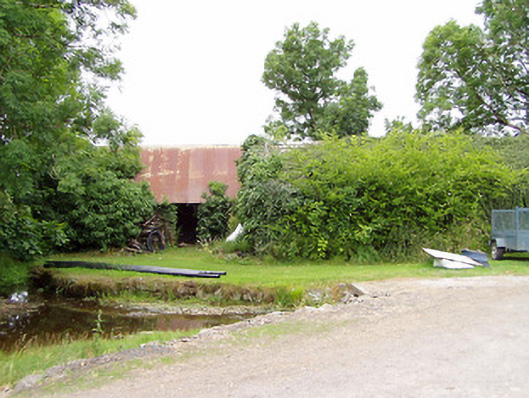
What is recorded here
Detached multiple-bay two-storey mill complex, built c. 1800 and extended c. 1860. Now out of use and overgrown. Pitched corrugated-metal roof. Coursed rubble limestone masonry walls, partially rendered. Square-headed window and door openings, original fittings. Remains of mill wheel (c. 12 feet in diameter) to west elevation comprising metal composite wheel. Gable-end facing road. Single-storey ancillary structures to site having rubble stone walls and pitched natural slate and corrugated-metal roofs. Former millrace runs southeast-northwest to the west side of the main mill building. Former mill pond to the east, now dry. Located to the north of Killashee.
Although now derelict, this simple and functional former corn mill complex retains its early form and character. The relatively small-scale of this mill suggests that it was more of a vernacular/toll milling complex than a large scale merchant milling complex, which tend to have much larger and taller mill buildings (such as is found at Clynan and Shrule for example). This corn mill would have provided a basic service to local farmers in grinding and milling their corn, and was also an important source of employment for the local community. It probably dates to the late-eighteenth or the early-nineteenth-century, a period that saw a great boom in the Irish corn milling industry. Of particular interest is the survival of the composite water wheel )c. 12 feet in diameter), which provides an interesting insight into historic industrial processes. This water wheel was apparently formerly an overshot wheel (Industrial heritage report 1976), but little evidence of the elevated millrace now survives. Machinery was also in-situ in 1976. It was in the ownership of a Patrick Blackman c. 1850 (Griffith’s Valuation), consisted of a house, office, mill and land (25 acres) and had a ratable value of £25 at this time. Although this complex is now out of use, it remains an important element of the industrial and economic history of the area, and creates historic incident in the rural countryside to the north of Killashee.
This does not grant access. Most recorded buildings are privately owned; view them only from public ground unless the owner allows entry.
Places near here
 Indicated, AghintempleChurch · 985 yd
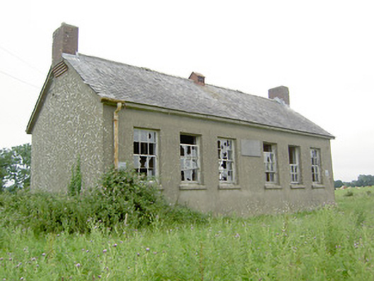 Saint Brigid's National School, Loughillschool · 1223 yd
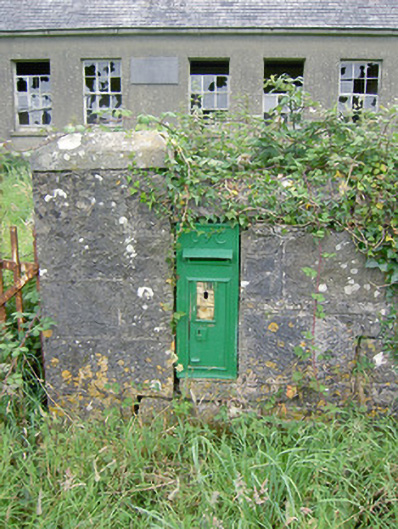 post box, Loughillpost box · 1232 yd
 Indicated, Cooleeshil OR RichfortFairy fort / earthen ringfort · 1467 yd
 Oldtown CopseWood · 1.3 mi
 Oldtown DemesneForest · 1.4 mi
 Bawn in LissardowlanBawn · 1.7 mi
 Castle, Anglo-Norman masonry castle in LissardowlanCastle, Anglo-Norman masonry castle · 1.7 mi
 Saint Mel's CathedralCathedral · 3.8 mi
 First World War MemorialMemorial · 3.8 mi
 Richfort, COOLEESHIL OR RICHFORTgates/railings/walls · 1600 yd
 LF014-104---- : Ringfort - rath : OLDTOWNArchaeological place · 1625 yd
Other information
Photo: National Inventory of Architectural Heritage · Website use allowed for educational or private purposes with source credit