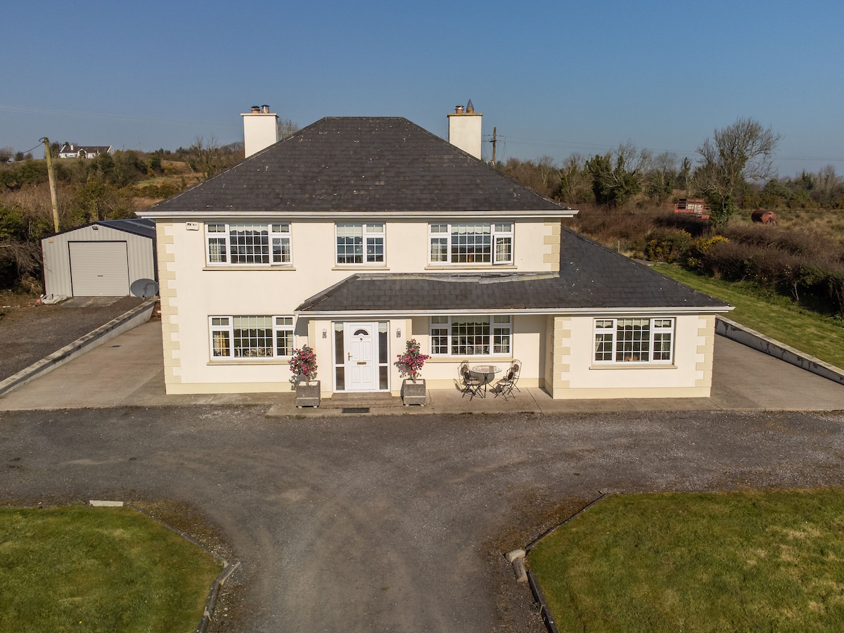
What is recorded here
On a low rise in pasture. Depicted as an enclosed circular copse of trees on the 1837 ed. of the OS 6-inch map. A report in 1976 (SMR file) recorded a raised circular area (diam. c. 23m) enclosed by a low bank of earth and stone with a shallow intervening fosse and an outer bank. The outer bank was identifiable only at S. Both banks have since been levelled and the fosse infilled. The defining element is a scarp (H 0.4m) at S and W. Mature deciduous trees, predominantly larch, are growing on the monument. Possibly a ringfort that was subsequently landscaped. (CUCAP, BGI 1)
Compiled by: Patrick F. O'Donovan
Date of upload: 9 February 2012
A local fairy fort (ringfort/rath); wider significance not recorded.
The monument record does not grant public access. Check the route and ask the landowner before entering private land.
- What survives
- Recorded monument
Places near here
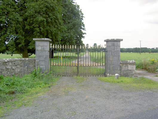 Richfortgates/railings/walls · 135 yd
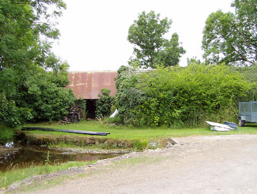 mill (water)mill (water) · 1467 yd
 LF014-104---- : Ringfort - rath : OLDTOWNArchaeological place · 1.1 mi
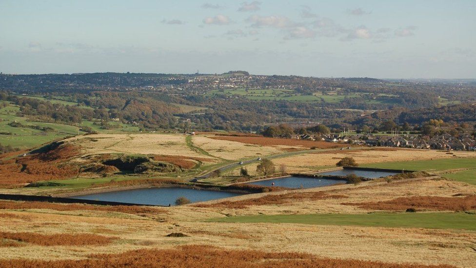 Enclosure in MoorEnclosure · 1.1 mi
 Oldtown CopseWood · 1.2 mi
 Oldtown DemesneForest · 1.3 mi
 Ardagh DemesneFort · 1.5 mi
 Druming Ho. (in ruins)Castle, unclassified · 1.7 mi
 National Famine WayWalking route · 2.6 mi
 Graveyard in Curry (ardagh By., Coolamber Ed)Graveyard · 4.4 mi
 Saint Mel's CathedralCathedral · 4.6 mi
 First World War MemorialMemorial · 4.6 mi
Other information
Photo: Credit not shown in the picture search · Rights wording not checked; contact us if this picture should be removed