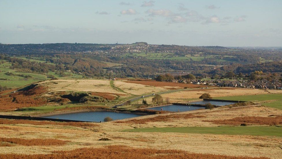
What is recorded here
On a knoll in low-lying pasture. Depicted as a roughly circular enclosure on the 1837 ed. of the OS 6-inch map. A report in 1976 (SMR file) recorded a raised circular area (diam. c. 23m) defined by a scarp with vague traces of an external fosse. The original entrance was not recognisable. The monument is not visible at ground level.
Compiled by: Patrick F. O'Donovan
Date of upload: 26 August 2011
A local fairy fort (ringfort/rath); wider significance not recorded.
The monument record does not grant public access. Check the route and ask the landowner before entering private land.
- What survives
- Recorded monument
Places near here
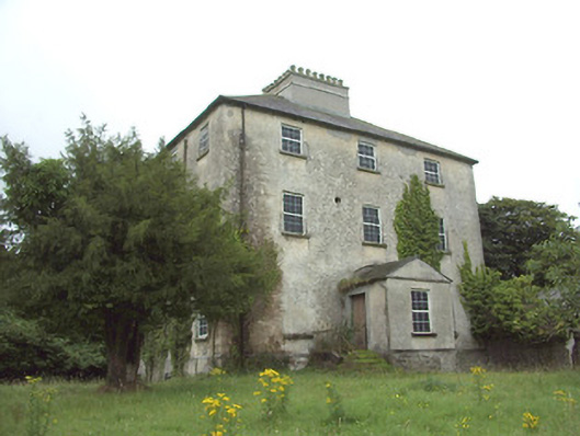 The Rectoryrectory/glebe/vicarage/curate's house · 441 yd
 IndicatedFairy fort / earthen ringfort · 451 yd
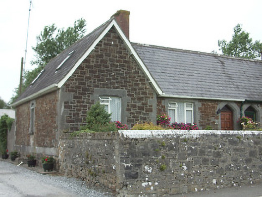 worker's houseworker's house · 485 yd
 Ardagh Clock TowerMonument · 580 yd
 Druming Ho. (in ruins)Castle, unclassified · 1223 yd
 Ardagh DemesneFort · 1473 yd
 Oldtown CopseWood · 1.8 mi
 Oldtown DemesneForest · 1.9 mi
 National Famine WayWalking route · 2.6 mi
 Graveyard in Curry (ardagh By., Coolamber Ed)Graveyard · 5.1 mi
 First World War MemorialMemorial · 5.6 mi
 Saint Mel's CathedralCathedral · 5.7 mi
Other information
Photo: Credit not shown in the picture search · Rights wording not checked; contact us if this picture should be removed