
What is recorded here
A long, rectangular, two-storey house with a tall, roughly centrally located, projecting three-storey tower, is depicted on the Down Survey (1655-6) map of Moydow barony (NLI, MS 719). It is possible that the tower represents a medieval castle to which the house (LF019-070003-) was added in the 17th century. The terrier of the Down Survey (1655-6) map of Killglasse parish (ibid.) records that there was a ‘Castle at Drumyn in reasonable repaire with some Cabbins’, the owner of these lands is listed as John Nugent, who is described as an ‘Irish Papist’ (ibid.). The house is named 'Drumming old' on the OS Fair Plan and is depicted as an unroofed rectangular structure aligned NNW-SSE; it may have incorporated the castle. The house has been levelled and no visible surface trace of it or the castle survives.
Compiled by: Caimin O'Brien
Date of upload: 15 October 2012
A local castle; wider significance not recorded.
The monument record does not grant public access. Check the route and ask the landowner before entering private land.
- What survives
- Recorded monument
Places near here
 FortsFairy fort / earthen ringfort · 204 yd
 Font in DrumingFont · 483 yd
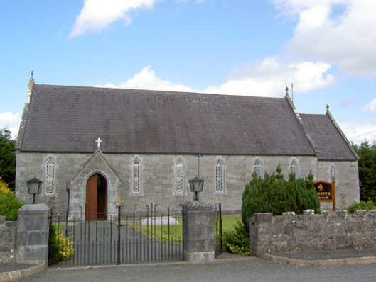 Saint Anne's Catholic Churchchurch/chapel · 977 yd
 gates/railings/wallsgates/railings/walls · 1359 yd
 Ardagh DemesneFort · 1.3 mi
 CastleCastle, motte · 2.0 mi
 National Famine WayWalking route · 2.3 mi
 Graveyard in Curry (ardagh By., Coolamber Ed)Graveyard · 5.3 mi
 First World War MemorialMemorial · 6.1 mi
 Saint Mel's CathedralCathedral · 6.1 mi
 Leveret IslandIslet · 11 mi
 Granard MotteMotte-and-bailey castle remains · 12 mi
Other information
Photo: Credit not shown in the picture search · Rights wording not checked; contact us if this picture should be removed