
What is recorded here
In the yard of the now-ruined house named 'Druming Park' on the 1911 OS 25-inch plan. Recorded in 1996 as a circular, bowl-shaped stone (diam. 0.38m; D 0.2m) with a plughole that was sunk into the ground immediately above a modern drain (SMR file). The yard where this stone was located is covered in earth and stone and there is no visible trace of it.
Compiled by: Paul Walsh
Date of upload: 07 June 2013
A local church or high cross; wider significance not recorded.
This remains an important historical record, but the official description says the monument is no longer visible or has been destroyed. The monument record does not grant public access. Check the route and ask the landowner before entering private land.
- What survives
- No visible remains or recorded as destroyed
Places near here
 BarrowBarrow, ring-barrow · 401 yd
 Druming Ho. (in ruins)Castle, unclassified · 483 yd
 FortsFairy fort / earthen ringfort · 528 yd
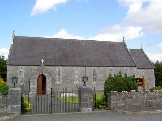 Saint Anne's Catholic Churchchurch/chapel · 1371 yd
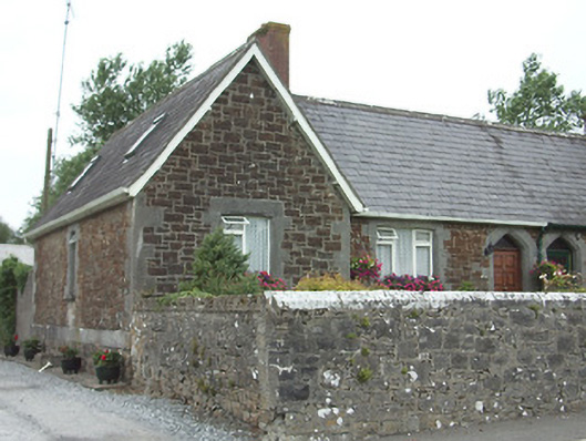 worker's houseworker's house · 1465 yd
 Ardagh DemesneFort · 1.4 mi
 National Famine WayWalking route · 2.1 mi
 Graveyard in Curry (ardagh By., Coolamber Ed)Graveyard · 5.0 mi
 First World War MemorialMemorial · 5.8 mi
 Saint Mel's CathedralCathedral · 5.8 mi
 Leveret IslandIslet · 11 mi
 Granard MotteMotte-and-bailey castle remains · 12 mi
Other information
Photo: Credit not shown in the picture search · Rights wording not checked; contact us if this picture should be removed