Places near here
Photo credits
- National Inventory of Architectural Heritage
- 瑞丽江的河水, Wikimedia Commons · CC BY-SA 4.0
- Algirdas at Lithuanian Wikipedia, Wikimedia Commons · Public domain
- Alvesgaspar, Wikimedia Commons · CC BY-SA 3.0
- Robert French, Wikimedia Commons · No restrictions
- Granard Motte.png : Smcq Derivative work: Hogweard, Wikimedia Commons · CC BY-SA 3.0
- 2ManyCats4Me, Wikimedia Commons · CC0
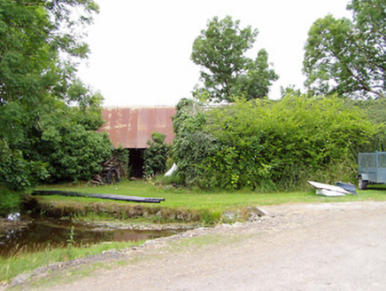 mill (water)985 yd
Explorer Tom Mill in Killinlastra inspired a bad poem about flour and water that rhymed with 'there'. It's derelict now, but Tom says it still grinds its teeth at night. Dare you to say hello to the wheel without getting scared stiff.
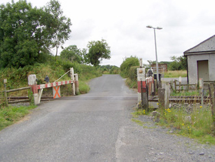 level crossing1377 yd
Explorer Tom The level crossing in Cloonahard holds a fake world record for being crossed by the most confused sheep in County Longford. It’s an old timber gate from the railway era that still looks stern and ready to slam shut. A good place to forget your worries.
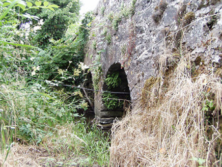 bridge1.1 mi
Explorer Tom Bridge in Cloonahard has had so many names it’s given up pretending to be anything other than itself. It’s got two tiny arches that look like they’re trying to hold back a sneeze. Stick around for the light to hit it right.
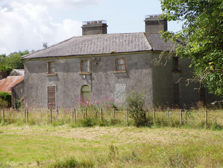 Rosemount HouseHouse · 1.1 mi
Explorer Tom Rosemount House thinks its family tree is mostly made up of ghosts and bad haircuts. The courtyard behind it looks like it’s hiding from a gossip. Find a local and ask them about the secrets!
 Saint Mel's CathedralCathedral · 3.4 mi
 First World War MemorialMemorial · 3.4 mi
 Pedunculate Oak6.7 mi
 Common Lime6.7 mi
Explorer Tom Common Lime bragged about surviving a storm that flattened everything else in its path. It’s just a tree with an ego problem and great leaves. Bring a friend who talks too much and let the place shut them up.
.jpg/250px-Castle_Forbes,_Longford,_Co._Longford_(21680992271).jpg "Photo: Robert French, Wikimedia Commons · No restrictions") CastleforbesCastle · 7.0 mi
CastleforbesCastle · 7.0 mi Moat of GranardCastle, motte and bailey · 11 mi
Explorer Tom The local sheep at Granard Moat rate it a solid four stars for grass quality. Richard de Tuit built it in 1199 to fight rebels, but now it’s mostly a nap zone. Stand back, squint, and it looks like a castle.
 Granard MotteMotte-and-bailey castle remains · 11 mi
Explorer Tom Granard Motte would describe the 1800s to a teenager as 'basically a long queue for nothing'. It's just a big mound pretending it remembers something important from the castle days. Spot the oldest stone and give it a name.
 1798 MonumentMonument · 11 mi
More historic places in County Longford · All of County Longford

What do you know about this place?Tap to add a comment or ask a question