What is recorded here
No visible gap, no door stone, no handle for a hinge. The fort keeps its shape and withholds its entrance. That much is clear. What is not clear is whether it was ever built to be entered at all.
In pasture at the base of a gentle ESE-facing slope. A raised D-shaped area (diam. 39.3m NW-SE; 37.1m NE-SW), with a straight SE side, enclosed by a wide low bank of earth and stone (Wth 6.1m; max. H 0.35m) with a shallow external fosse (Wth 3.4m; D 0.4m). A stream flows outside the bank along the SE side and between it and the bank is a ledge or berm (Wth 4.1m; max. H 0.1m). A report in 1975 (SMR file) recorded a low outer bank from S-W-E, it has since been levelled. The original entrance is not recognisable. Another ringfort (LF014-103----) lies c. 20m to the N.
Compiled by: Patrick F. O'Donovan
Date of upload: 29 November 2011
The monument record does not grant public access. Check the route and ask the landowner before entering private land.
- What survives
- Recorded monument
Places near here
 FortsFairy fort / earthen ringfort · 64 yd
 LF014-104---- : Ringfort - rath : OLDTOWNArchaeological place · 106 yd
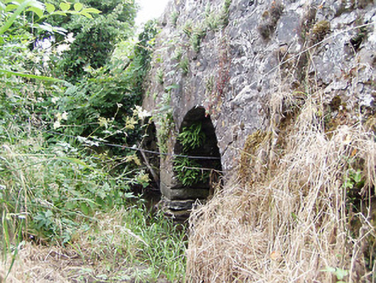 bridgebridge · 277 yd
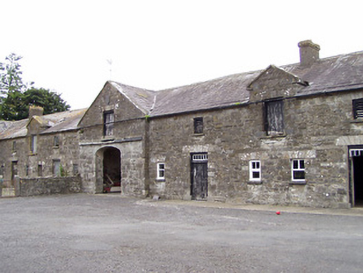 Oldtown Houseoutbuilding · 845 yd
 Oldtown DemesneForest · 927 yd
 Oldtown CopseWood · 966 yd
 Bawn in LissardowlanBawn · 1.4 mi
 CastleCastle, Anglo-Norman masonry castle · 1.4 mi
 National Famine WayWalking route · 3.6 mi
 Saint Mel's CathedralCathedral · 4.2 mi
 First World War MemorialMemorial · 4.3 mi
 Graveyard in Curry (ardagh By., Coolamber Ed)Graveyard · 4.8 mi