What is recorded here
This is a hemispherical piece of granite with hollowed upper surface (diam. 0.6m x D 0.45m). It is situated beside a fence in a field known as the 'trough field'. It narrows to a point along the inner base. Local tradition records that it was used as a holy water font attached to a local church (Ua Broin 1943, 73, 85).
From the National Monuments Service (Archaeological Survey of Ireland) record DU021-031
The monument record does not grant public access. Check the route and ask the landowner before entering private land.
- What survives
- Recorded monument
Places near here
Photo credits
- National Inventory of Architectural Heritage
- Mike Searle, Geograph · CC BY-SA 2.0
- Sitomon, Wikimedia Commons · CC BY-SA 2.0
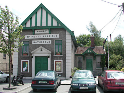 Rathcoole LibraryCourt house · 328 yd
 HillviewHouse · 335 ydInniscara GalleryGallery · 349 ydSettlement cluster in RathcooleSettlement cluster · 363 ydSt. Bridgets WellHoly well · 439 ydRathcoole WoodlandWood · 695 ydMeadow WildlifeVisitor information · 1313 ydCastleCastle, tower house · 1751 ydAthgoe HillMountain / peak · 1.8 miVerschoyle's HillMountain / peak · 1.8 mi
 CastleCastle, tower house · 2.0 mi
 European Yew2.1 mi
More archaeology and monuments in County Dublin · All of County Dublin
What do you know about this place?