
Places near here
Photo credits
- Westmeath Examiner, www.westmeathexaminer.ie
- National Inventory of Architectural Heritage
- Photographer not named in the article, www.westmeathindependent.ie
- Mike Searle, Geograph · Creative Commons Attribution-ShareAlike 2.0
- Copper1993, Wikimedia Commons · CC BY-SA 4.0
 St Loman’s GAA ClubGAA ground · 1.0 mi
Explorer Tom St Loman’s has a Mullingar home where a local football argument can travel from the touchline to the car park in one…
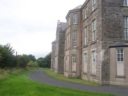 hospital/infirmary1.3 mi
Explorer Tom Hospital or infirmary in Petitswood is secretly incredibly proud of a single potato that grew right through its…
St. O. Plunkett's GAA pitchGAA ground · 2.0 mi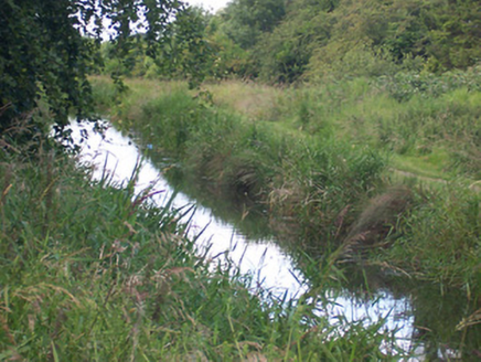 canal (section of)2.1 mi
Explorer Tom This canal section is telling its younger self to stop complaining about the mud and start appreciating the view of…
 Knockdrin CastleGate lodge · 2.1 mi
Explorer Tom Knockdrin Castle’s gate lodge in County Westmeath is secretly proud of one very specific, very large potato it grew…
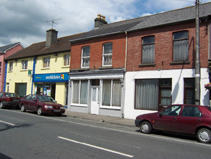 shop/retail outlet2.1 mi
Explorer Tom Shop in Mullingar is a late nineteenth-century terrace with a timber shopfront that’s basically a time capsule. It’s…
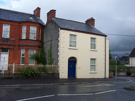 Harbour HouseHouse · 2.2 mi
Explorer Tom Harbour House in Mullingar is standing there looking smug while its terrace mates got demolished for a road. It’s got…
 Annebrook HouseHouse · 2.2 mi
Explorer Tom Annebrook House in Mullingar has a secret message carved into its stones, but it’s just a really angry receipt for a…
 The Gate LodgeGate lodge · 2.3 mi
Explorer Tom The Gate Lodge in Mullingar is stuck with a bad poem someone wrote about it in 1890, and it hasn’t recovered from the…
 Mullingar Lodge 131 Masonic HallMasonic lodge/hall · 2.3 mi
Explorer Tom Mullingar Lodge 131 is full of secrets about squares and circles that no one else cares about. The diamond windows are…
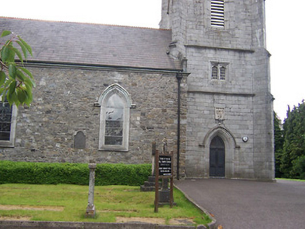 All Saints' Church (Mullingar)Church/chapel · 2.3 mi
Explorer Tom All Saints' Church in Mullingar would be the one at any party standing in the corner explaining its architectural…
 Courthouse in MullingarCourthouse · 2.3 mi
Explorer Tom Mullingar Courthouse hosted a fake royal visit in 1702 where the King ate a pie and never paid. The cellar still smells…
More archaeology and monuments in County Westmeath · All of County Westmeath

What do you know about this place?Tap to add a comment or ask a question