
What is recorded here
The Sessions House in 1641 was located on the S side of the Main Street of Mullingar town (WM019-089----). The 1641 Survey of Mullingar recorded that there were ‘two cellars and one garden plot, under the sessions house, wherein Charles Whyte now dwells, lying and being from the street (Main St.) on the north, the house wherein sometimes Donnogh O Shiel dwelt on the east, the vicar’s garden on the south, to the now dwelling house of Elizabeth Guires on the west’ (Andrews and Davies 1992, 15). In 1667 the confirmation of a land grant to Sir Arthur Forbes under the Acts of Settlement and Explanation described the monument as 'The Cellars under rooms of ye Session House with a garden' (NLI p 1895). In the second half of the 17th century a new courthouse was built, probably at a different location, maybe in the area where the Court House is located today. In 1682 Sir Henry Piers recorded that in the historic town of Mullingar (WM019-089----) there was an ‘old session house also, being very narrow and inconvenient in all respects, a new one is a framing, very large and spacious according to the modes of modern architecture’ (Vallancey 1786, 78). Piers goes on to state that in Mullingar there 'are held continually, all assizes and sessions, four fairs yearly, and all public meetings of the county' (bid.). The precise location of the medieval courthouse or of the late 17th century courthouse has not been identified. The Historic Towns Atlas of Mullingar places the Session House on the S side of Pearse St (Main St.) (Andrews and Davies 1992, 3).
The Sessions House in 1641 was located on the S side of the Main Street of Mullingar town (WM019-089----). The 1641 Survey of Mullingar recorded that there were ‘two cellars and one garden plot, under the sessions house, wherein Charles Whyte now dwells, lying and being from the street (Main St.) on the north, the house wherein sometimes Donnogh O Shiel dwelt on the east, the vicar’s garden on the south, to the…
From the National Monuments Service (Archaeological Survey of Ireland) record WM019-089039
The monument record does not grant public access. Check the route and ask the landowner before entering private land.
- What survives
- Recorded monument
Places near here
Photo credits
- National Inventory of Architectural Heritage
- Shaun Nolan, Geograph · Creative Commons Attribution-ShareAlike 2.0
- Shaun Nolan, Geograph · CC BY-SA 2.0
- Brian Shaw, Geograph · CC BY-SA 2.0
- Aerobug/Grace, Wikimedia Commons · CC BY-SA 4.0
- Bridget Neville, Wikimedia Commons · CC BY-SA 4.0
- kevin higgins, Geograph · CC BY-SA 2.0
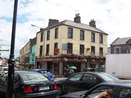 public house6 yd
 Greville Arms HotelHotel · 19 yd
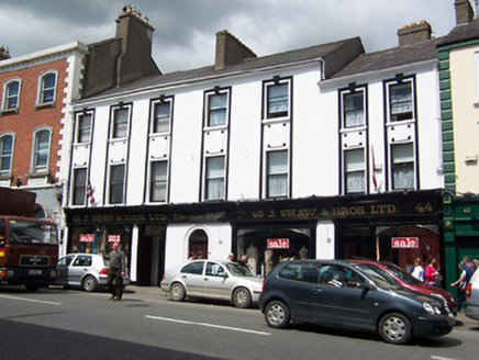 Hibernian HouseShop/retail outlet · 29 yd
 Mullingar Market HouseMarket house · 30 yd
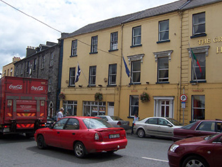 Greville Arms HotelHouse · 31 yd
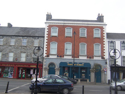 Bank of IrelandBank/financial institution · 38 yd
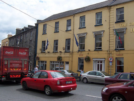 Greville Arms HotelHouse · 43 yd
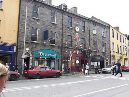 shop/retail outlet53 yd
 Famine MemorialMemorial · 226 yd
 Augustinian Monks Memorial StatueMemorial · 287 yd
 Saint Brigid's WellSpring · 1.7 mi
 Church IslandIsland · 3.2 mi
More archaeology and monuments in County Westmeath · All of County Westmeath
What do you know about this place?