
What is recorded here
Within the nave area of the ruined medieval church of Grangesylvia (KK025-002001-) there is a crude rectangular granite font (max. dims. 0.9m x 0.8m; H 0.37m) with rounded corners. The rectangular bowl (int. dims. 0.56m x 0.46m; D 0.15m; rim T 0.18m) contains a square drain-hole (0.08m x 0.08m) at its centre. See attached photographs:
KK025-002003-_01 Font with stoup resting within it
Compiled by: Jean Farrelly
Date of upload: 23 February 2022
From the National Monuments Service (Archaeological Survey of Ireland) record KK025-002003
The monument record does not grant public access. Check the route and ask the landowner before entering private land.
- What survives
- Recorded monument
Places near here
 Grangesylvia Church (in ruins)Church · 10 yd
 Goat's BridgeBridge · 1459 yd
 Neigham CastleCastle, tower house · 1711 yd
 IndicatedBawn · 1723 yd
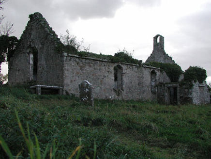 Powerstown ChurchChurch/chapel · 1.1 mi
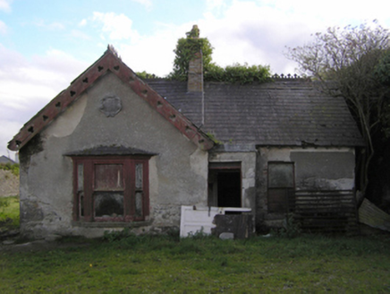 Gowran CastleWorker's house · 1.3 mi
 Lady WellWell · 1.5 mi
 Font in GowranFont · 1.5 mi
 Tullaherin Church and Round TowerVisitor information · 4.6 mi
 Hawthorn4.8 mi
 St. Mogarra’s WellSpring · 6.2 mi
 Sessile Oak28 mi
Pictures: A.-K. D., Wikimedia Commons · CC BY-SA 4.0; kevin higgins, Wikimedia Commons · CC BY-SA 2.0; Mike Searle, Wikimedia Commons · CC BY-SA 2.0; Mike Searle, Geograph · CC BY-SA 2.0; National Inventory of Architectural Heritage; Humphrey Bolton, Wikimedia Commons · CC BY-SA 2.0; Humphrey Bolton, Geograph · CC BY-SA 2.0; Didier Descouens, Wikimedia Commons · CC BY-SA 4.0; Maker named on the Wikimedia Commons picture page · CC BY-SA 2.5
More archaeology and monuments in County Kilkenny · All of County Kilkenny
What do you know about this place?