
What is recorded here
Goat's Bridge in Grange Lower has old stone arches on one side and a great slab of 1970s concrete on the other. You'd swear it had asked the barber to leave a bit on top and woken up halfway through a car park.
Three-arch rubble limestone road bridge over river, c.1825. Widened, c.1975. Random rubble limestone walls with rendered triangular cut-waters to piers, squared rubble limestone coping to parapet, and mass-concrete parapet, c.1975, to south on mass-concrete piers incorporating triangular cut-waters. Three segmental arches with rubble limestone voussoirs, rubble limestone soffits, and reinforced concrete lintels to south forming three-span section. Sited spanning tributary of River Barrow with grass banks to river.
Despite unsympathetic functional alteration works that have not had a positive bearing on the external expression of the composition the elementary attributes of a modest-scale bridge survive in place, thereby attesting to the position of the site as an important element of the early nineteenth-century civil engineering heritage of the locality.
From the Buildings of Ireland (National Inventory of Architectural Heritage) record 12402101
This does not grant access. Most recorded buildings are privately owned; view them only from public ground unless the owner allows entry.
Places near here
Photo credits
- National Inventory of Architectural Heritage
- A.-K. D., Wikimedia Commons · CC BY-SA 4.0
- Humphrey Bolton, Wikimedia Commons · CC BY-SA 2.0
- Mike Searle, Wikimedia Commons · CC BY-SA 2.0
- Didier Descouens, Wikimedia Commons · CC BY-SA 4.0
- Humphrey Bolton, Geograph · CC BY-SA 2.0
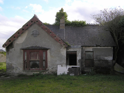 Gowran CastleWorker's house · 1087 yd
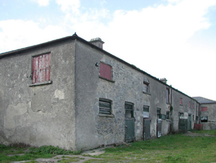 Gowran CastleStables · 1112 yd
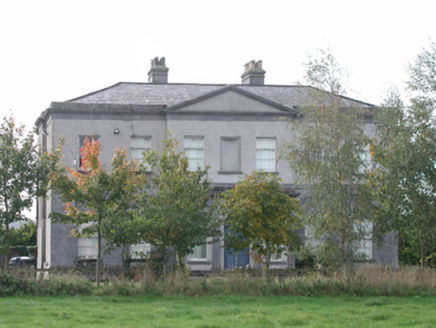 Gowran CastleCountry house · 1195 yd
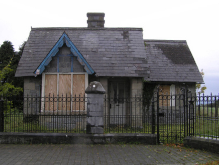 Gowran CastleGate lodge · 1317 yd
 Font in Grange UpperFont · 1459 yd
 Font in GowranFont · 1495 yd
_-_geograph.org.uk_-_8100379.jpg/250px-Castles_of_Leinster,_Ballyshawnmore,_Kilkenny_(1)_-_geograph.org.uk_-_8100379.jpg "Photo: Mike Searle, Wikimedia Commons · CC BY-SA 2.0") Ballyshanemore Cas. (in ruins)Castle, tower house · 1664 yd
Ballyshanemore Cas. (in ruins)Castle, tower house · 1664 yd Neigham CastleCastle, tower house · 1.4 miRed BogForest · 2.7 mi
 Hawthorn4.1 mi
 Tullaherin Church and Round TowerVisitor information · 4.8 mi
 St. Mogarra’s WellSpring · 5.4 mi
More historic places in County Kilkenny · All of County Kilkenny
What do you know about this place?