What is recorded here
There was a Mass path that became submerged.
From OpenStreetMap (© OpenStreetMap contributors) w753348605
Places near here
Red BogWood · 143 yd gates/railings/walls768 ydCloghala HouseFarmyard complex · 1041 ydBallynaboley Castle (in ruins)Castle, tower house · 1.5 miIndicatedBawn · 1.5 miBastionfort WellHoly well · 2.1 miCross in TullaherinCross · 2.2 miTullaherin Church and Round TowerVisitor information · 2.2 miKilbline GraveyardArchaeological place · 3.2 miTime CapsuleMemorial · 3.9 miHawthorn4.3 miSt. Mogarra’s WellSpring · 5.7 mi
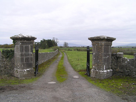 gates/railings/walls768 yd
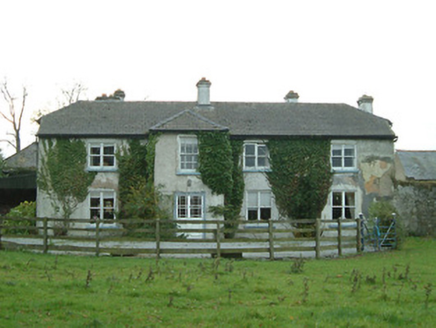 Cloghala HouseFarmyard complex · 1041 yd
 Ballynaboley Castle (in ruins)Castle, tower house · 1.5 mi
 IndicatedBawn · 1.5 mi
 Bastionfort WellHoly well · 2.1 mi
 Cross in TullaherinCross · 2.2 mi
 Tullaherin Church and Round TowerVisitor information · 2.2 miKilbline GraveyardArchaeological place · 3.2 miTime CapsuleMemorial · 3.9 mi
 Hawthorn4.3 mi
 St. Mogarra’s WellSpring · 5.7 mi
Pictures: National Inventory of Architectural Heritage; kevin higgins, Wikimedia Commons · CC BY-SA 2.0; Mike Searle, Geograph · CC BY-SA 2.0; A.-K. D., Wikimedia Commons · CC BY-SA 4.0; Humphrey Bolton, Geograph · CC BY-SA 2.0; Didier Descouens, Wikimedia Commons · CC BY-SA 4.0
More woods, forests and old trees in County Kilkenny · All of County Kilkenny
What do you know about this place?