What is recorded here
Originally located within Culmullin church (ME043-017----) (Cogan 1862-70, 2, 351), it was moved to a place by the path through the graveyard (Roe 1968, 112-3), and has now been moved to the lawn of Culmullin House (ME043-018001-), c. 265m too the SSE. It is a plain octagonal font (dims c. 0.6m x. c. 0.5m; H 0.56m) but the sides are of uneven length (L 0.18-0.29m) and create an oval basin (int. dims 0.44m x 0.35m; max. D 0.2m) with a wave-like rim. The lower panels (H 0.32m) are set slightly back from the upper but they are vertical, and there is a central drain-hole.
Compiled by: Michael Moore
Date of upload: 23 March, 2015
The monument record does not grant public access. Check the route and ask the landowner before entering private land.
- What survives
- Recorded monument
Places near here
 Church (Site of)Church · 7 yd
 CastleCastle, motte · 233 yd
 St Nicholas WellHoly well · 1106 yd
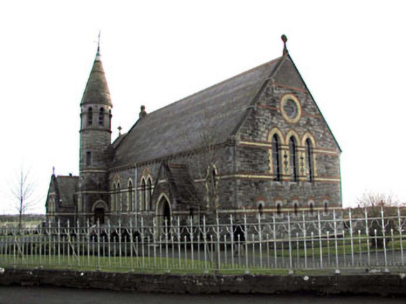 Catholic Church of Saint Martin of Tourschurch/chapel · 1280 yd
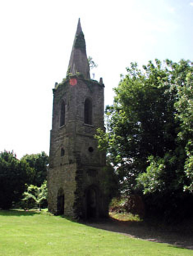 Knockmark Churchchurch/chapel · 1.7 mi
 MullaghMountain / peak · 2.6 mi
 Dunsany WoodWood · 2.7 mi
 Railway Woods (North)Forest · 2.9 mi
 Dunsany CastleCastle, unclassified · 2.9 mi
 1798 MemorialMemorial · 3.0 mi
 Lismahon 1798 MemorialMonument · 3.7 mi
 Larchil Arcadian GardensHeritage attraction · 3.8 mi