What is recorded here
Located towards the top of the NE-facing slope of a low NW-SE ridge. A church at Cnockmark is listed in the ecclesiastical taxation (1302-06) of Pope Nicholas IV (Cal. doc. Ire., 5, 255). Ussher (1622) records the church and chancel of Knockmake as decayed (Erlington 1847-64, 1, lxxv). According to Dopping's visitation (1682-5) the church of St Peter and its chancel were unrepaired since 1641 and the graveyard was not enclosed (Ellison 1972, 4). A Church of Ireland church was built in 1811 (Lewis 1837, 239-40) but it was defunct by the end of the century (1909 OS 6-inch map), and only its W tower with a spire survives.
The site of the medieval parish church is within a D-shaped graveyard (max. dims c. 90m WNW-ESE; c. 50m NNE-SSW) defined by masonry walls with the straight sides at W and S and a road curving around the perimeter NW-E-ESE. The headstones date from c. 1780 to the present. There is no visible evidence of the medieval church, apart from a coffin-shaped graveslab (H 0.7m; Wth 0.23-0.32m; T 0.1-0.15m) set up as a headstone, which has a bracelet-headed cross together with a sword carved in low relief on the E face. A font, which is described (Davidson 1895) as an octagonal but broken piece of limestone ‘1 foot 10 inches wide (c. 0.56m)’ with an octagonal stem ‘1 foot 3 inches (c. 0.38m)’ in height and ‘1 foot 4 inches (c. 0.4m)’ wide at the top that had a moulding at the waist is no longer present in the graveyard. Each side of the basin had a socket for securing the cover.
The above description is derived from the published 'Archaeological Inventory of County Meath' (Dublin: Stationery Office, 1987). In certain instances the entries have been revised and updated in the light of recent research.
Compiled by: Michael Moore
Date of upload/revision: 7 April, 2015
The church at Knockmark was likely built in the late 13th or early 14th century, as it appears in the ecclesiastical taxation records of Pope Nicholas IV (1302–06). Its significance lies in its historical documentation, indicating the presence of an organized Christian community in the area during the medieval period.
The monument record does not grant public access. Check the route and ask the landowner before entering private land.
- What survives
- Recorded monument
Places near here
 Font in KnockmarkFont · 9 yd
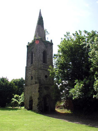 Knockmark Churchchurch/chapel · 12 yd
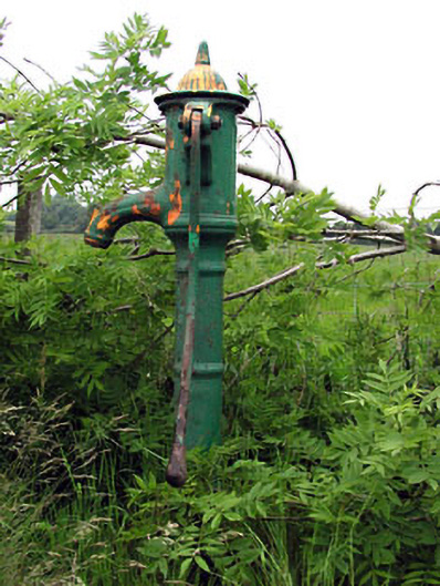 water pump, KNOCKMARKwater pump · 819 yd
 Ribstown fort, Kilcooly (deece Lower By.)Fairy fort / earthen ringfort · 1448 yd
 Killeen Castle, KilleenCastle, tower house · 1.7 mi
 Castle, motte in CulmullinCastle, motte · 1.8 mi
 Dunsany WoodWood · 2.0 mi
 Laurel WoodsWood · 2.3 mi
 Lismahon 1798 MemorialMonument · 3.8 mi
 MullaghMountain / peak · 4.1 mi
 1798 MemorialMemorial · 4.3 mi
 Battle of Tara Hillbattle · 4.7 mi