
What is recorded here
Situated on a slight N-facing slope. It is depicted on the 1836 and 1908 editions of the OS 6-inch map and described as ‘Ribstown Fort’ in gothic lettering on both. This is a raised, subcircular, grass and scrub-covered mound (diam. of top 25m NNE-SSW; 22.5m WNW-ESE) defined by an earthen bank (Wth of base 6-7.5m; int. H 0.5m; ext. H 1.7m at NE to 2.3m at SW), and the remains of a fosse (at SW: Wth 3m; D 0.7m) SSW-W-NNE. The entrance may be a slight dip on the perimeter at E.
The above description is derived from the published 'Archaeological Inventory of County Meath' (Dublin: Stationery Office, 1987). In certain instances the entries have been revised and updated in the light of recent research.
Date of upload: 10 July 2007
Amended: 22 November 2021
Ribstown fort, Kilcooly is a likely early-medieval ringfort, indicated by its raised, subcircular form and historical mapping from the 19th century. Though no specific folklore is recorded for this site, like many such forts in Ireland, it may have later been associated with local fairy traditions or supernatural tales.
The monument record does not grant public access. Check the route and ask the landowner before entering private land.
- What survives
- Recorded monument
Places near here
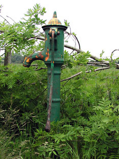 water pumpwater pump · 757 yd
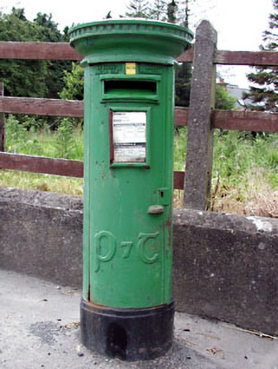 post boxpost box · 936 yd
 Enclosure in Merrywell (ratoath By.)Enclosure · 963 yd
 Font in KnockmarkFont · 1440 yd
 CastleCastle, motte · 1.7 mi
 Killeen CastleCastle, tower house · 2.5 mi
 Dunsany WoodWood · 2.8 mi
 Lismahon 1798 MemorialMonument · 3.0 mi
 Laurel WoodsWood · 3.1 mi
 MullaghMountain / peak · 3.7 mi
 1798 MemorialMemorial · 3.8 mi
 Larchil Arcadian GardensHeritage attraction · 5.1 mi
Other information
Photo: Credit not shown in the picture search · Rights wording not checked; contact us if this picture should be removed