What is recorded here
Castle in Derrypatrick had a western boundary bank nearly eight metres wide, which is a tremendous amount of earth to put between yourself and company. By the time a caller got across it, ‘I was just passing’ would have been a difficult lie to defend.
A roofless gabled structure is depicted adjacent to the church at Dirpatrick (26) on the Down Survey (1656-8) barony map of Deece (http://downsurvey.tcd.ie/). According to the Civil Survey (1654-6) Walter Plunkett of Dirpatrick owned 175 acres there in 1640 including ‘an old stone house, a park of trees and some…
Read the whole record
A roofless gabled structure is depicted adjacent to the church at Dirpatrick (26) on the Down Survey (1656-8) barony map of Deece (http://downsurvey.tcd.ie/). According to the Civil Survey (1654-6) Walter Plunkett of Dirpatrick owned 175 acres there in 1640 including ‘an old stone house, a park of trees and some thatched houses’ (Simington 1940, 142). The house is depicted as an oblong structure (dims c. 15m NW-SE; c. 5m NE-SW) with a rectangular enclosure (dims c. 25m NE-SW; c. 25m NW-SE) attached to the NE on the 1836 ed. of the OS 6-inch map, and it is located on a low E-W ridge. A raised rectangular and grass-covered area (dims 8.5m E-W; 6.5m N-S; max. H c. 2m) marks the site of the house. It is situated at the NW angle of a large enclosure or bawn (dims c. 50m N-S; c. 30m E-W) defined on all sides except the N by earthen banks (at W: Wth 8m; H 0.8-1m) and external fosses or hollow ways (at S: Wth of top 5.5m; D 0.5m). The field system (ME043-012----) extended around the house E-S-W but all the remains were removed c. 2013 (Bing). The parish church of Derrypatrick (ME043-010----) is c. 60m to the N.
The above description is derived from the published 'Archaeological Inventory of County Meath' (Dublin: Stationery Office, 1987).
From the National Monuments Service (Archaeological Survey of Ireland) record ME043-011
Places near here
Photo credits
- National Inventory of Architectural Heritage
- Willow, Wikimedia Commons · CC BY 2.5
- C O'Flanagan, Geograph · CC BY-SA 2.0
- J. Stirling Coyne, Wikimedia Commons · Public domain
- Thomas Nugent, Geograph · CC BY-SA 2.0
- C O'Flanagan, Geograph · Creative Commons Attribution-ShareAlike 2.0
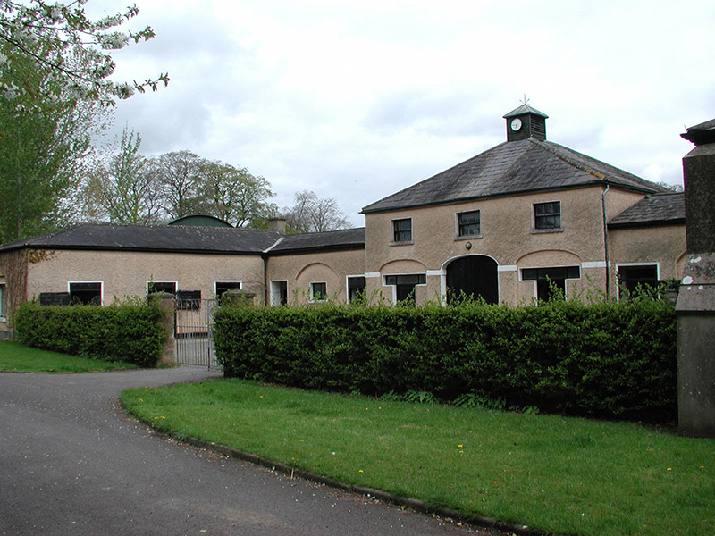 Galtrim HouseStables · 1.4 mi
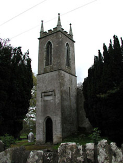 Saint Mary's Church (Galtrim)Church/chapel · 1.5 mi
 Railway Woods (North)Forest · 2.5 mi
 European ash3.1 mi
 Dunsany CrossCross, Wayside cross · 3.2 mi
 Dangan CastleCastle, tower house · 3.4 miMullaghMountain / peak · 3.5 mi
 Killeen CastleCastle, tower house · 3.8 mi
 IndicatedGraveyard · 3.8 mi1798 MemorialMemorial · 4.2 miLarchil Arcadian GardensHeritage attraction · 4.3 miKilgar GardensHeritage attraction · 5.2 mi
More historic places in County Meath · All of County Meath
What do you know about this place?Tap to add a comment or ask a question