
Places near here
Photo credits
- National Inventory of Architectural Heritage
- Meath Chronicle; photographer not stated, www.meathchronicle.ie
- JP, Geograph · Creative Commons Attribution-ShareAlike 2.0
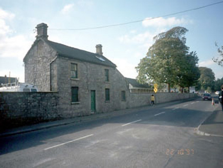 surgery/clinic503 yd
Explorer Tom Surgery or Clinic in Townparks is a stubborn old bloke who hates the road leading to him. It thinks Commons Road smells…
 hospital/infirmary545 yd
Explorer Tom Hospital or infirmary in Townparks handles nosey neighbours by pretending to be asleep, which works surprisingly well…
 O'Mahony's GAA, NavanGAA ground · 825 yd
 milestone/milepost829 yd
Explorer Tom Milestone in Abbeyland South says nine and a half miles to Dunshauglin, which sounds like a royal decree nobody can…
 Navan Garda Síochána StationMonastery · 830 yd
Explorer Tom Navan Garda Síochána Station used to be a monastery, so the prayers are still echoing. The dog that's in charge of it…
 water pump919 yd
Explorer Tom Water pump in Townparks would describe the 1800s to a teenager as 'a time when you had to work for your water, but at…
 Blackwater MillMill (water) · 926 yd
Explorer Tom Blackwater Mill in Abbeyland South is still grinding flour in its dreams, hearing the ghosts of old gears clicking…
 weir951 yd
Explorer Tom Weir in Abbeyland has a name that really means 'the place where the water gets confused about which way to go.' It’s a…
 school954 yd
Explorer Tom School in Townparks is playing hide-and-seek with me. A local claims he invented the round windows just to annoy his…
 store/warehouse960 yd
Explorer Tom Store or warehouse in Townparks is playing hide-and-seek with me. Local legend says a giant once stored his boots here…
 convent/nunnery1012 yd
Explorer Tom Convent or nunnery in Townparks would get 'Resting' on its tombstone because it clearly needs a break after centuries…
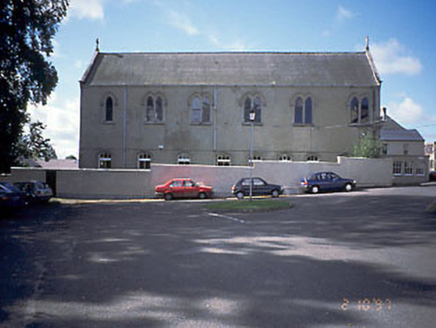 church/chapel1016 yd
Explorer Tom Church or chapel in Townparks would tell its younger self to stop worrying about the plaster and start enjoying the…
More archaeology and monuments in County Meath · All of County Meath

What do you know about this place?Tap to add a comment or ask a question