
What is recorded here
Just to the E of the rath (ME025-081----) a V-shaped ditch (Wth c. 1.75m; D c. 1.16m) extended NNE-SSW (L 50m plus) that has also been recorded further S at Site 3 (total L 200m plus) as a more substantial feature (Wth 3.4m; D 1.5m) from which a C14 date of 728-736, 771-888 cal. AD (UBA-9927) was returned from a lower…
Read the whole record
From the National Monuments Service (Archaeological Survey of Ireland) record ME025-082
Places near here
Photo credits
- National Inventory of Architectural Heritage
- JP, Geograph · Creative Commons Attribution-ShareAlike 2.0
- Rob Hurson, Wikimedia Commons · CC BY-SA 4.0
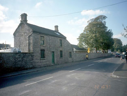 surgery/clinic457 yd
Explorer Tom Surgery or Clinic in Townparks is a stubborn old bloke who hates the road leading to him. It thinks Commons Road smells…
 hospital/infirmary499 yd
Explorer Tom Hospital or infirmary in Townparks handles nosey neighbours by pretending to be asleep, which works surprisingly well…
 milestone/milepost780 yd
Explorer Tom Milestone in Abbeyland South says nine and a half miles to Dunshauglin, which sounds like a royal decree nobody can…
 Navan Garda Síochána StationMonastery · 784 yd
Explorer Tom Navan Garda Síochána Station used to be a monastery, so the prayers are still echoing. The dog that's in charge of it…
 Blackwater MillMill (water) · 887 yd
Explorer Tom Blackwater Mill in Abbeyland South is still grinding flour in its dreams, hearing the ghosts of old gears clicking…
 school907 yd
Explorer Tom School in Townparks is playing hide-and-seek with me. A local claims he invented the round windows just to annoy his…
 water pump913 yd
Explorer Tom Water pump in Townparks would describe the 1800s to a teenager as 'a time when you had to work for your water, but at…
 weir913 yd
Explorer Tom Weir in Abbeyland has a name that really means 'the place where the water gets confused about which way to go.' It’s a…
 store/warehouse921 yd
Explorer Tom Store or warehouse in Townparks is playing hide-and-seek with me. Local legend says a giant once stored his boots here…
 convent/nunnery966 yd
Explorer Tom Convent or nunnery in Townparks would get 'Resting' on its tombstone because it clearly needs a break after centuries…
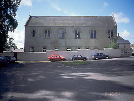 church/chapel969 yd
Explorer Tom Church or chapel in Townparks would tell its younger self to stop worrying about the plaster and start enjoying the…
 CastleCastle, motte · 1.0 mi
Explorer Tom This motte in Athlumney is jealous of the actual castle next door because nobody takes photos of it on purpose. It’s…
More archaeology and monuments in County Meath · All of County Meath

What do you know about this place?Tap to add a comment or ask a question