
What is recorded here
Knockmacoony townland is called simply Knocke on the Down Survey Barony map (1655-8) when it was owned by John Plunkett, an Irish papist. No features are shown in Knocke on the parish map but cabins are represented on the nearest part of Drumsawry townland. The terrier or commentary accompanying the map says there is…
Read the whole record
From the National Monuments Service (Archaeological Survey of Ireland) record ME009-025
Places near here
Photo credits
- National Inventory of Architectural Heritage
- Maker not stated on source page, www.gaia.com
- Maker not stated on source page, www.pinterest.com
- Maker not stated on source page, www.neverstoptraveling.com
- Maker not stated on source page, www.ctinsider.com
- Maker not stated on source page, cz.pinterest.com
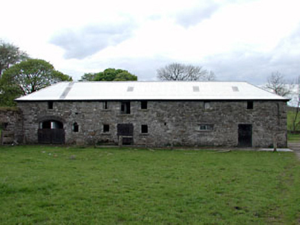 outbuilding491 yd
Explorer Tom Outbuilding in Tubride is part of a modest farm group that’s surprisingly interesting to look at. It retains some…
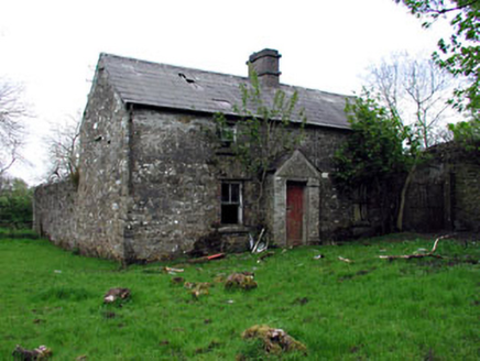 farm house524 yd
Explorer Tom Farm house in Tubride looks like the dog actually runs the place. Stone walls, slate roof, and a mix of brick that…
 Fairy fort / earthen ringfort in TubrideFairy fort / earthen ringfort · 575 yd
Explorer Tom Fairy fort / earthen ringfort in Tubride must have taken about four thousand cups of tea to build, judging by how tired…
 CastleCastle, motte and bailey · 731 yd
Explorer Tom Castle in Oldcastle holds a fake world record for being the most ignored mound in County Meath right now. It’s planted…
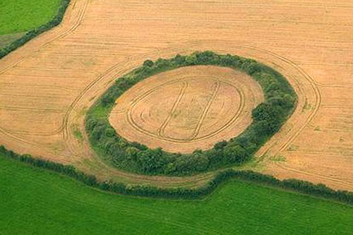 Fairy fort / earthen ringfort in Drumsawry or SummerbankFairy fort / earthen ringfort · 756 yd
Explorer Tom Fairy fort / earthen ringfort in Drumsawry Or Summerbank was built by someone who really wanted to be left alone. It…
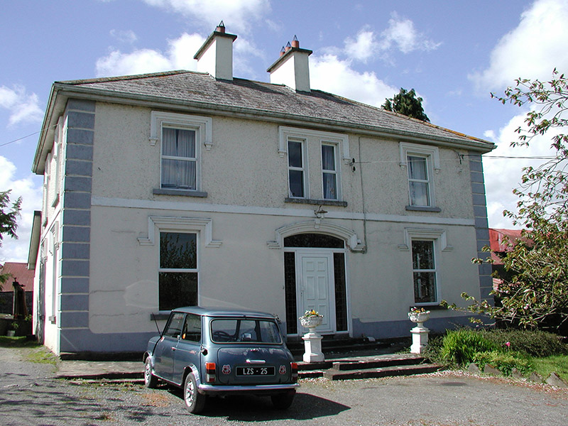 Tubride HouseFarm house · 781 yd
Explorer Tom Tubride House in County Meath is showing off its roughcast render like it won a county fair prize. I reckon the walls…
 Union CemeteryCemetery · 849 yd
Explorer Tom Union Cemetery in County Meath is secretly proud of one specific potato that grew there back in the day, even if no one…
 Saint Brigid's Catholic ChurchGates/railings/walls · 966 yd
Explorer Tom Saint Brigid's Catholic Church gates in Oldcastle were built by someone who was definitely thinking about lunch while…
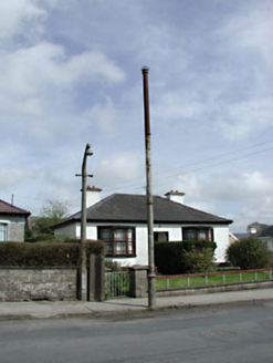 vent pipe1027 yd
Explorer Tom Vent pipe in Oldcastle is one of those rare sewer vents that actually looks good, adding some cast-iron charm to the…
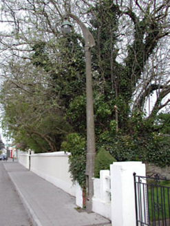 lamp standard1027 yd
Explorer Tom Lamp standard in Oldcastle is confused because map makers keep putting it thirty metres away from its twin, which is…
 St Brigid's CemeteryCemetery · 1031 yd
Explorer Tom St Brigid's Cemetery in County Meath has had so many names changed that it’s basically a chameleon now, refusing to…
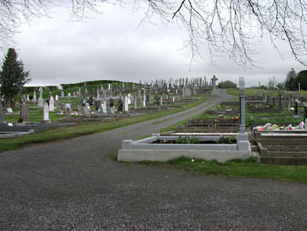 graveyard/cemetery1079 yd
Explorer Tom Graveyard or cemetery in Oldcastle has some seriously stylish dead folks in it. They’ve got Celtic crosses with rope…
More archaeology and monuments in County Meath · All of County Meath

What do you know about this place?Tap to add a comment or ask a question