What is recorded here
Fairy forts are misnamed. They are human ringforts, usually Iron Age or earlier, where people lived, kept stock and marked territory. The fairy label came later because the true use had faded from memory.
Situated on a low rise in a low-lying landscape, with a small NE-SW canalised stream or drain curving around it c. 50-100m distant E-N-NW. This is a D-shaped grass-covered area (dims 42m E-W; c. 36m N-S) defined a slight earthen bank (at E: Wth of base 3m; int. H 0.3m; ext. H 0.8m) NE-E and W-N (at W: Wth of base 2m; int. H 0.6m; ext. H 0.4m) with some large stones. There is no visible fosse and the original entrance is not identified. The monument is truncated by an ENE-WSW field bank (L c. 35m) at S.
The above description is derived from the published 'Archaeological Inventory of County Meath' (Dublin: Stationery Office, 1987). In certain instances the entries have been revised and updated in the light of recent research.
Compiled by: Michael Moore
Date of revision: 31 October 2018
The monument record does not grant public access. Check the route and ask the landowner before entering private land.
- What survives
- Recorded monument
Places near here
 Enclosure in KnockmacoonyEnclosure · 712 yd
 Enclosure in TubrideEnclosure · 820 yd
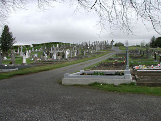 graveyard/cemeterygraveyard/cemetery · 924 yd
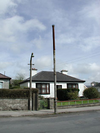 vent pipevent pipe · 1095 yd
 CastleCastle, unclassified · 1170 yd
 Memorial CrossMemorial · 1428 yd
 Mount FortuneMountain / peak · 1706 yd
 C11Named rock · 1.3 mi
 Carnbane WestMountain / peak · 1.4 mi
 LoughcrewMegalithic tomb cemetery · 1.5 mi
 Loughcrew Megalithic TombsHeritage attraction · 1.8 mi
 Common LimeCommon Lime · 1.9 mi