
What is recorded here
Radiating from the exterior of enclosure (CL035-162----) at S, SW, NW, NE and E. The remains of low, collapsed sod covered walls. Identified on satellite imagery (https://binged.it/2mwI57e; accessed 6 March 2017). The wall (H at E side 0.2m; H at W side 0.3m; Wth at top 1m; overall Wth 3.15m) extends (long axis N-S; L…
Read the whole record
From the National Monuments Service (Archaeological Survey of Ireland) record CL035-162001
Places near here
Photo credits
- Maker not stated on source page, en.wikipedia.org
- Natasha Barton, credited by The Clare Echo, www.clareecho.ie
- Graham Horn, Geograph · Creative Commons Attribution-ShareAlike 2.0
- Maker not stated on source page, irelandinruins.blogspot.com
- National Inventory of Architectural Heritage
- Maker not stated on source page, archaeology.co.uk
- Roger Diel, Geograph · CC BY-SA 2.0
 Enclosure in GarruraghEnclosure · 6 yd
Explorer Tom Enclosure in Garruragh started because two lads bet a pint that they could find something interesting near the road.…
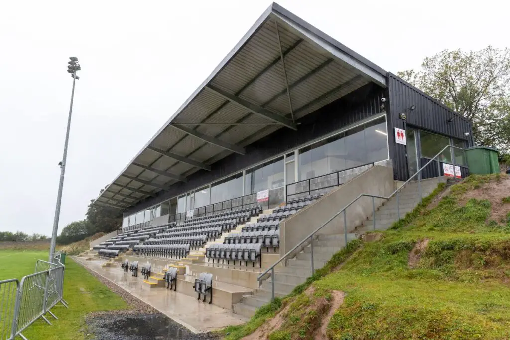 Páirc an Dalaigh, TullaGAA ground · 1002 yd
 Grave YardGraveyard · 1555 yd
Explorer Tom Graveyard in Tulla is sitting on top of the hill looking down on the village with the attitude of a disappointed…
 Tulla Church (in ruins)Church · 1564 yd
Explorer Tom Tulla Church is roofless but full of character, and the local sheep have strong opinions about its architecture. It’s…
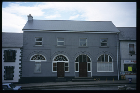 Tulla Constabulary BarrackMarket house · 1682 yd
Explorer Tom Tulla Constabulary Barrack used to house the law but is just a house now, which feels like letting the cops keep their…
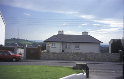 Tulla HouseHouse · 1699 yd
Explorer Tom Tulla House might have been a presbytery, which means it’s full of secret gossip about clergy members. The dormers are…
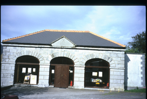 Tulla LibraryMarket house · 1716 yd
Explorer Tom The Tulla Library used to be a market house, so it’s probably still judging your shopping list. I swear the fairies…
 Fairy fort / earthen ringfort in Lisduff (tulla Upper By.)Fairy fort / earthen ringfort · 1737 yd
Explorer Tom Fairy fort in Lisduff has a ghost that’s too lazy to haunt it properly; he just naps in the thicket. Bring wellies and…
Enclosure in Maryfort or LismeehanEnclosure · 1759 ydExplorer Tom Enclosure in Maryfort Or Lismeehan is basically a ghost with a levelled scarp and a beech tree for a bodyguard. It’s…
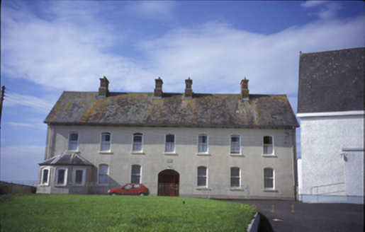 Cnoc na GaoitheConvent/nunnery · 1.0 mi
Explorer Tom Cnoc na Gaoithe, or the Windy Hill convent, claims its unlikely celebrity friend is a local ghost who just loves good…
Enclosure in Fortane BegEnclosure · 1.2 miExplorer Tom Enclosure in Fortane Beg in County Clare has a dating profile that says 'Seeking serious relationship with someone who…
 Lissofin Castle (in ruins)Castle, unclassified · 1.9 mi
Explorer Tom Lissofin Castle would tell its younger self to stop worrying about being 'the Fort of Hugh the Fair' and just enjoy…
More archaeology and monuments in County Clare · All of County Clare

What do you know about this place?Tap to add a comment or ask a question