What is recorded here
In low-lying, rough and rocky pasture which is poorly drained in places, c. 12m to N of the Ennis to Scarriff regional road (R532); thorn tree thickets and natural rock outcrop are consistent across this field. Identified through satellite imagery (https://binged.it/2mwI57e; Accessed 6 March 2017).This is a circular area (26m N-S; 27m E-W) defined by a the remains of a low, collapsed sod-covered wall (int. H 0.25m; ext. H 0.4m; Wth at top 1.5m; overall Wth 5m) N-SW and which abuts a higher area of rock outcrop SW-N, where there is an internal scarp (Wth 5.8m; H 1.1m) falling into the interior from the higher area around this arc. There are traces of a possible slight bank NW-N, on this higher area. A small plateau area (c. 15m N-S; c. 15m E-W) adjoining to W may form part of the monument, however this may be a natural feature that was utilised. The interior is dish shaped, being more pronounced around the perimeter SW-N where the external ground level is higher. Some small areas of sod covered rock outcrop are located within giving it a lumpy surface in places. A field system (CL035-162001-) radiates from the exterior of the enclosure at S, SW, NW, NE and E.
The following images have been uploaded:
CL035-162----_01.jpg From SW. General view of monument.
CL035-162----_02.jpg From NE. Cross sectional view of bank at SE.
CL035-162----_03.jpg From WSW. Cross sectional view of enclosing elements at NNW.
Compiled by: Mary Tunney, Alison McQueen and Vera Rahilly
Date of upload: 10 July 2018
The monument record does not grant public access. Check the route and ask the landowner before entering private land.
- What survives
- Recorded monument
Places near here
 Enclosure in GarruraghEnclosure · 416 yd
 Ballygastell FortFairy fort / ringfort · 442 yd
 IndicatedCastle, tower house · 888 yd
 St Mochullas Ch (in RuinsChurch · 1578 yd
 Tulla Castle (Site of)Castle, unclassified · 1589 yd
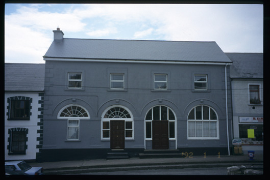 Tulla Constabulary Barrackmarket house · 1687 yd
 The StablesGallery · 1.2 mi
 Cloghleagh RockNamed rock · 3.5 mi
 The RingfortHeritage attraction · 4.6 mi
 Deerpark WoodForest · 4.8 mi
 Calluragh WoodForest · 5.3 mi
 Enclosure in Cloghaun (tulla Upper By.)Enclosure · 510 yd