
What is recorded here
Situated to the E side of the crown of a hillock, in improved pasture with extensive views across lower, gently undulating countryside ENE-NW. Named on OS historic mapping as ‘Ballygastell Fort’. A roughly circular area (29m N-S; 27m E-W) defined by the remains of a levelled bank (int. H 0.3m; ext. H 0.2m; Wth at top 2.4m; overall Wth 7.4m) NNW-ENE and W-WNW. The enclosing elements have been reduced to a low scarp (Wth 3.4m; H 0.6m) WNW-NNW and a higher scarp (Wth 3.3m; H 1.2m) SE-W. A small gap (Wth 1.5m) is situated at N and a wide gap (Wth c. 10m) is located ENE-SE, as per 25-inch OS map. There are faint traces of an outer fosse (Wth 5m; D 0.1m) W-WNW and NNW-ENE. The fosse appears to continue SSE-W, where it is respected by the field boundary, however it is densely overgrown around this arc. The interior has a distinct E-facing slope where it falls uniformly and uninterrupted to the exterior due to the wide gap ENE-SE. The enclosing elements and interior are grass covered except for the scarp SSE-W which is covered in furze and thorn trees. A field boundary (long-axis NE-SW) is c. 14m to SE.
The following images have been uploaded:
CL035-026----_01.jpg From NE. General view of monument.
CL035-026----_02.jpg From SW. Cross sectional view of low scarp at NW.
CL035-026----_03.jpg From N. Cross sectional view of bank and fosse at W.
Compiled by: Mary Tunney, Alison McQueen and Vera Rahilly
Date of upload: 20 June 2018
Ballygastell Fort, Garruragh is a likely early-medieval ringfort, situated on a hillock with extensive views, suggesting a strategic defensive or agricultural function. Local tradition may associate it with fairy lore, as is common with such sites in Irish folklore, though specific stories are not recorded.
The monument record does not grant public access. Check the route and ask the landowner before entering private land.
- What survives
- Recorded monument
Places near here
 Enclosure in GarruraghEnclosure · 271 yd
 IndicatedCastle, tower house · 821 yd
 Enclosure in Cloghaun (tulla Upper By.)Enclosure · 952 yd
 Castle (Site of)Castle, tower house · 1707 yd
 St Mochullas Ch (in RuinsChurch · 1.1 mi
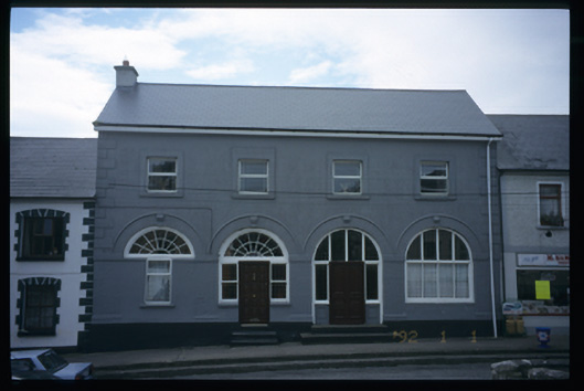 Tulla Constabulary Barrackmarket house · 1.2 mi
 The StablesGallery · 1.5 mi
 Cloghleagh RockNamed rock · 3.7 mi
 DoonHeritage attraction · 4.5 mi
 Deerpark WoodForest · 4.6 mi
 Calluragh WoodForest · 5.1 mi
 Children's Burial GroundArchaeological place · 1158 yd
Other information
Photo: Credit not shown in the picture search · Rights wording not checked; contact us if this picture should be removed