
What is recorded here
In low lying, gently undulating and improved pasture c. 12m to N of the R352 regional route from Ennis to Scarriff. Identified on a satellite image (https://binged.it/2mwDy4U. Accessed 6 March 2017). This is an oval area (22m NE-SW; 29m NW-SE) defined by a low bank (int. H 0.25m; ext. H 0.3m; Wth at top 1.9m; overall Wth 6.2m). There is a gap (Wth 4m) at NW, a gap (Wth 5m) at N and a gap (Wth 3m) at SE, one of which could be an entrance. The interior is dish-shaped and slopes down gently to NW with the prevailing slope. A mature tree is located c. 25m to N.
The following images have been uploaded:
CL035-161----_01.jpg From W. General view of monument.
CL035-161----_02.jpg From S. Cross-sectional view of bank at E.
Compiled by: Mary Tunney, Alison McQueen and Vera Rahilly
Date of upload: 10 July 2018
The monument record does not grant public access. Check the route and ask the landowner before entering private land.
- What survives
- Recorded monument
Places near here
 Ballygastell FortFairy fort / ringfort · 271 yd
 IndicatedCastle, tower house · 568 yd
 Enclosure in Cloghaun (tulla Upper By.)Enclosure · 879 yd
 Castle (Site of)Castle, tower house · 1641 yd
 St Mochullas Ch (in RuinsChurch · 1.1 mi
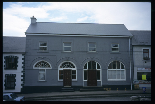 Tulla Constabulary Barrackmarket house · 1.1 mi
 The StablesGallery · 1.4 mi
 Cloghleagh RockNamed rock · 3.7 mi
 DoonHeritage attraction · 4.7 mi
 Deerpark WoodForest · 4.8 mi
 Calluragh WoodForest · 5.3 mi
 Children's Burial GroundArchaeological place · 1303 yd
Other information
Photo: Credit not shown in the picture search · Rights wording not checked; contact us if this picture should be removed