
What is recorded here
On the crown of a distinct hillock of rough pasture, with extensive views across a much lower, undulating landscape in all directions. There is a clear view across to Tulla Church (CL035-022003-), graveyard (CL035-022004-) and ecclesiastical enclosure (CL035-022001-) on Tulla hill to W. Westropp (1908-9, 389) describes the monument as a, ‘terraced fort hardly a foot higher than the summit, but terraced up from 8 feet to 10 feet high at the north, with a very steep bank and no fosse or appreciable ring. It is 78 feet east and west, 96 feet north and south overall; and from its lofty furze ring, 12 feet high, is one of the most conspicuous….of the hill forts’. Depicted on the 25-inch OS 6-inch map as a circular area (24m N-S; c. 23m E-W) defined by a single bank, located within the SW corner of a field. Not visible at ground level, except for a faint trace of the former bank which has been reduced to a levelled scarp (Wth 1.5m; H 0.15m) NE-SE. The land falls very steeply from the projected area of the levelled bank at N and falls more gently, but steadily to S.
The following image has been uploaded:
CL035-024----_01.jpg From SW. Cross sectional view of levelled scarp at SE.
Compiled by: Mary Tunney, Alison McQueen and Vera Rahilly
Date of upload: 19 June 2018
A local fairy fort (ringfort/rath); wider significance not recorded.
The monument record does not grant public access. Check the route and ask the landowner before entering private land.
- What survives
- Recorded monument
Places near here
 Enclosure in GarruraghEnclosure · 879 yd
 Ballygastell FortFairy fort / ringfort · 952 yd
 St Mochullas Ch (in RuinsChurch · 1080 yd
 Tulla Castle (Site of)Castle, unclassified · 1089 yd
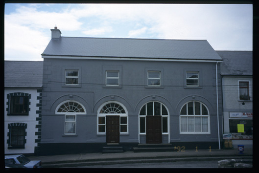 Tulla Constabulary Barrackmarket house · 1181 yd
 IndicatedCastle, tower house · 1183 yd
 The StablesGallery · 1687 yd
 Cloghleagh RockNamed rock · 3.3 mi
 The RingfortHeritage attraction · 4.4 mi
 Deerpark WoodForest · 5.0 mi
 Calluragh WoodForest · 5.5 mi
 Hilltop enclosure in KnockadoonHilltop enclosure · 953 yd
Other information
Photo: Credit not shown in the picture search · Rights wording not checked; contact us if this picture should be removed