
What is recorded here
On top of a hillock known locally as Tulla Hill, at the E edge of the village, with extensive views across rolling pasture in all directions. Enclosing the top of Tulla Hill and located within an ecclesiastical enclosure (CL035-022001-). Within the graveyard there is a medieval church (CL035-022002-) and an early 18th-century church (CL035-022003-) off-centre to NE, and the site of a castle (CL035-022005-). The modern and historic graveyards occupy most of the area within the ecclesiastical enclosure. The historic graveyard, as depicted on the 1841 edition OS 6-inch map, is a D-shaped area (c. 62m NE-SW; c. 46m NW-SE) and occupies the area off-centre to SW of the ecclesiastical enclosure. It is defined by a linear rubble limestone masonry wall. A laneway extends ENE-WSW immediately to the N. The N wall may incorporate portions of the medieval church (CL035-022003-). The 25-inch OS map indicates that the D-shaped graveyard had been extended to the NE. Subsequently it was extended further E-S-SSW, to include the remainder of the area within the ecclesiastical enclosure. This later extension is enclosed by a low rubble stone wall with vertical copings which have large replacement portions of mass concrete, cast in-situ at ESE. The modern graveyard occupies the northern half of the ecclesiastical enclosure, to N of the central laneway, having been established c. 1975 (Myles 2012). In general, the older graves are located within the historic graveyard, mainly 19th-century grave plots with occasional 18th-century examples. The Browne wall plaque is located on the S side of the shallow chancel and dates to 1717, being the earliest noted in the graveyard and contemporary with the early years of the 18th-century church (CL035-022003-) which dates to 1702. The following images have been uploaded:
CL035-022004-_01.jpg From NW. General view across historic graveyard (CL035-022004-). CL035-022004-_02.jpg From E. General view across historic graveyard (CL035-022004-).
On top of a hillock known locally as Tulla Hill, at the E edge of the village, with extensive views across rolling pasture in all directions. Enclosing the top of Tulla Hill and located within an ecclesiastical enclosure (CL035-022001-). Within the graveyard there is a medieval church (CL035-022002-) and an early 18th-century church (CL035-022003-) off-centre to NE, and the site of a castle (CL035-022005-). The…
From the National Monuments Service (Archaeological Survey of Ireland) record CL035-022004
The monument record does not grant public access. Check the route and ask the landowner before entering private land.
- What survives
- Recorded monument
Places near here
Photo credits
- National Inventory of Architectural Heritage
- Roger Diel, Geograph · CC BY-SA 2.0
- Wanfried-Dublin, Wikimedia Commons · CC BY 4.0
- Adrian King, Geograph · CC BY-SA 2.0
- jule_berlin, Wikimedia Commons · CC BY 2.0
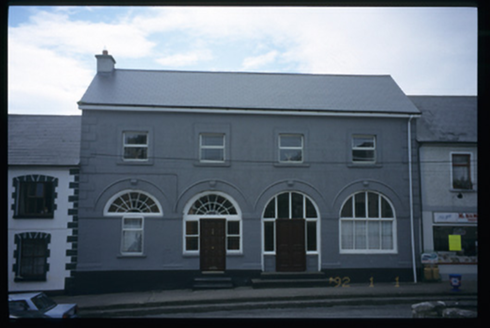 Tulla Constabulary BarrackMarket house · 153 yd
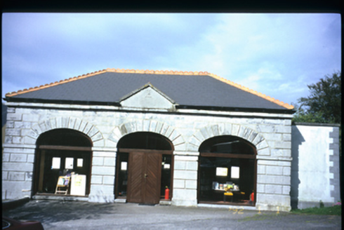 Tulla LibraryMarket house · 162 yd
 Lissofin Castle (in ruins)Castle, unclassified · 1.2 mi
.jpg/250px-Milltown_Co._Clare-2026.06.25_(4).jpg "Photo: Wanfried-Dublin, Wikimedia Commons · CC BY 4.0") Dermot and Granias BedWedge tomb · 1.5 mi
Dermot and Granias BedWedge tomb · 1.5 mi Tyredagh Castle (in ruins)Castle, tower house · 2.4 mi
.jpg/250px-Ballyslattery-Newgrove.2026.05.25_(1).jpg "Photo: Wanfried-Dublin, Wikimedia Commons · CC BY 4.0") Giants GraveWedge tomb · 2.5 miCloghleagh RockNamed rock · 2.6 miCloghleagh RockNamed rock · 3.0 mi
Giants GraveWedge tomb · 2.5 miCloghleagh RockNamed rock · 2.6 miCloghleagh RockNamed rock · 3.0 mi CraggaunowenNationally known place · 4.2 miDerrymore WoodWood · 5.3 miDeerpark WoodForest · 5.5 mi
 Quin AbbeyHeritage attraction · 5.6 mi
More archaeology and monuments in County Clare · All of County Clare
What do you know about this place?